
Perry Lake Trail: Explore rugged, forested terrain in eastern Kansas
The Perry Lake Trail is a 29-mile hiking loop trail, mostly on U.S. Corps of Engineers land. It leads hikers through Ozark-type topography along the lakeshore and through steep and rugged hills in eastern Kansas. This rugged trail generally follows the shoreline and bluffs along a peninsula on Perry Lake’s eastern side.

The Perry Lake Trail, near Ozawkie, Kansas, covers rolling, steep and rugged terrain along the shore of the reservoir.
A loop trail, mostly on U.S. Corps of Engineers land, leads hikers through Ozark-type topography along the lakeshore.
Trail Perry Lake Trail (also referred to as The Old Military Trail)
Overview
Ready to get remote? Perry Lake is an 11,500-acre reservoir about 25 miles northeast of Lawrence, Kansas. The Perry Lake Trail (also called The Old Military Trail) is a 29-mile loop following the shoreline of a peninsula on the lake’s eastern side. After a few minutes on the trail, sounds of civilization recede and you realize you’re “all in” with nature. This trail explores what is sometimes called Kansas’ “Little Ozarks,” a hilly area that was previously a valley of the Delaware River. The area is surprisingly scenic, from the rocky lakeshore to steep, forested bluffs. According to AllTrails, total elevation gain on the full 29-miles is more than 2,000 feet. The northern end of the trail, accessed by the Old Military Trailhead, is known for its steep inclines. This remote area lends itself to wildlife, so have your camera, phone or binoculars ready. Very few people will hike the entire loop, so you can pick a section and hike and out-and-back. Primitive camping is not allowed on the trail, but hikers can camp at established campsites that intersect the trail. The Perry Lake Trail (Old Military Trail) is different from the more well-known mountain bike trails on the western side of the lake.
Length 29-mile loop. To shorten the hike, create your own out-and-back or exit the trail at an intersecting campsite or crossroads.
Address and location We recommend beginning your hike at the Old Military Trailhead on Ferguson Road (see trailhead map below). There is ample parking. At this trailhead, you’ll find a gated, asphalt road in disrepair (this is not the trail). The natural surface trail is marked with a sign; enter here to walk toward the lakeshore.

Distance This trailhead is about 1 hour from Downtown Kansas City.
Conditions This single-track dirt trail is steep and rugged. The northern section is well marked and maintained. Beyond this, we cannot vouch for the condition of the full 29 miles. Because of the density of the forest, fall, winter and spring are the best seasons to minimize ticks, bugs and poison ivy.
Kid friendly? Kids will need to be up for a strenuous hike.
How busy? This is a remote trail, so you’ll likely encounter few people. The lake is a popular boating destination, so you may see and hear boat traffic on the reservoir.
Pets Yes, on a leash.
Bikes Prohibited (however there are numerous mountain bike trails on the west side of the lake).
Restrooms are not available on this trail.


Trailhead: Old Military Trail, Perry Lake

Rocks of ages on display at Ha Ha Tonka State Park
Ha Ha Tonka State Park is a premiere Missouri hiking destination (or is it the premiere destination?). Conde Nast Traveler called it the most beautiful spot in Missouri. What’s the hubbub about? To sum it up, Ha Ha Tonka is built around the erosion of “Rocks of Ages.” Water has worn down bedrock, resulting in collapsed caves, still-existing caves, sinkholes and a natural bridge. Ha Ha Tonka spring gushes 48 million gallons of water into the Lake of the Ozarks daily. Other highlights include 250-bluffs overlooking the lake, a natural island surrounded by rushing spring water and “The Devil’s Kitchen,” a massive overhang on the quieter side of the park.

The spring a Missouri’s Ha Ha Tonka State Park emits 48 million gallons per day into the Lake of the Ozarks.
USA Today readers named it the fourth best state park in America.
Trail Ha Ha Tonka State Park
Overview
Ha Ha Tonka State Park is a premiere Missouri hiking destination (or is it the premiere destination?). Conde Nast Traveler called it the most beautiful spot in Missouri. What’s the hubbub about? To sum it up, Ha Ha Tonka is built around the erosion of “Rocks of Ages.” Water has worn down bedrock, resulting in collapsed caves, still-existing caves, sinkholes and a natural bridge. Ha Ha Tonka spring gushes 48 million gallons of water into the Lake of the Ozarks daily. Other highlights include 250-bluffs overlooking the lake, a natural island surrounded by rushing spring water and “The Devil’s Kitchen,” a massive overhang on the quieter side of the park. Although most people stick to the castle, cliffs and spring area, there is much more to the park. About 3,000 acres of oak woodland can be explored, featuring some trees that are more than 300 years old. The Missouri Department of Conservation calls it “one of the best open oak woodland landscapes in Missouri that has been restored and managed.” This area can best be explored via the 6.5-mile Turkey Pen Hollow Trail, which also provides access to three primitive camping sites.
A castle in Missouri?
Oh, and did we mention the castle? Yeah, there’s a castle at the top of a cliff with an incredible vista of the lake. The castle story, however, is more tragedy than fairy tale – yet its story likely resulted in the area being preserved for us today. The castle’s founder and visionary, Robert M. Snyder, died before it was completed. It was finished by his sons in 1922, but a chimney fire in the 1940s destroyed all but the stone walls. The stunning nature of the castle and the completion of Lake of the Ozarks in 1931 put Ha Ha Tonka on the map. Yet this stunning area remained abandoned until 1978, when it was opened as a state park. Snyder’s notes about the area still beckon visitors today: "Here I will spend my leisure, secure from the worries of business and the excitement of city life. I will fish and loaf and explore the caves of these hills, with no fear of intrusion." And so should you.
And what about the odd name? Ha Ha Tonka is generally attributed to an Osage tribe description that meant laughing waters, in reference to the spring.
Length There are more than 10 miles of trails on which to explore this park. (The state park website says there are 31 miles of trails, however, this is overstated because it includes “water trails” which are for canoe and kayak use.)
Address and location Ha Ha Tonka State Park, 1491 State Road D, Camdenton, MO 65020; although many people park at the castle ruins, there are several smaller lots throughout the park.
Distance This park is about 2 hours and 45 minutes from Downtown Kansas City.
Conditions There are several wheelchair accessible areas, but overall this park is rugged with steep elevation gains. The impact of the grade is lessened in some areas by stairs and bannisters. Wear sturdy shoes and beware of wet areas and loose rock. Trekking polls are recommended.
Kid friendly? Kids will need to be up for a strenuous hike.
How busy? This is one of the state’s most popular parks in one of the state’s most popular tourist areas (Lake of the Ozarks). If you want a quieter experience, go in the off season or from Monday-Thursday.
Pets Yes, on a leash.
Bikes Restricted.
Restrooms are located near the visitors center, castle trailhead and general store.


At Elk City State Park, waves of grain give way to fields of boulders
Elk City State Park sprawls over more than 5,000 acres in south central Kansas. At its heart is the Elk City Reservoir. While there is much here for water enthusiasts and anglers, the park is a premiere attraction for hikers and mountain bikers. It includes more than 15-miles of trails, ranging from entry-level nature walks to routes that lead through boulder-scrambling heights.

The Table Mound Trail at Elk City State Park, Independence, Kansas
The Chautauqua Hills break through the plains in spectacular cliffs, canyons and rugged hills.
Trail Elk City State Park
Overview
Elk City State Park sprawls over more than 5,000 acres in south central Kansas. At its heart is the Elk City Reservoir. While there is much here for water enthusiasts and anglers, the park is a premiere attraction for hikers and mountain bikers. It includes more than 15-miles of trails, ranging from entry-level nature walks to routes that lead through boulder-scrambling heights. Table Mound, which rises about 250 feet above the surrounding farmland, is the centerpiece. Trails in this area cut through the Chautauqua Hills, uplifted rock made of layers sandstone, shale and limestone. Erosion and gravity has fractured Table Mound, resulted in surrounding fields of boulders. It makes for challenging but spectacular hiking. Unlike much of Kansas, this area is also heavily forested (except where it has been cleared for agriculture), with cedar trees predominating.
Note: The 15-mile Elk River Trail is nearby, but is not in Elk City State Park. Learn more about that trail here.
Length There are more than 15 miles of trails at Elk City State Park. Highlights include:
Table Mound Trail 5 miles out-and-back. If you don’t want to hike 5 miles, you can begin at the overlook parking lot and chart a shorter course (hikers only).
Post Oak Nature Trail One-mile loop atop Table Mound (hikers only).
Green Thumb Nature Trail One mile-loop beginning at Timber Road Campground (hikers only).
Eagle Rock Mountain Bike Trail Four miles, multiple loops.
Distance Elk City State Park is a little under three hours from downtown Kansas City.
Conditions Except for the nature trails, hiking at Elk City State Park is challenging and strenuous. Trails are well-marked and maintain, but they are natural surface and subject to snow and rain. In addition, there are significant elevation changes and rocky footing.
Kid friendly? Kids will need to be up for a strenuous hike.
How busy? On holidays and during warm weather, this park can be popular. If you want a less-trafficked experience, visit on a weekday or in the offseason.
Pets Yes, on a leash.
Bikes Only on the mountain bike trail.
Restrooms are available at the Memorial Overlook Trailhead and in camping areas.
Address and location Elk City State Park, 4825 Squaw Creek Rd, Independence, KS 67301


Moon Loop is a journey through a once-lost forest
Moon Loop is a trail in the small segment of Mark Twain National Forest that is north of the Missouri River near Columbia, Mo. This pleasant six-miler is a mostly level walk through dense, dark forest comprised mostly of cedar, oak and hickory. It crosses Big Branch Creek – a crystalline rocky stream – two times. There are also occasional gaps of prairie. Moon Loop is a restoration success story. Before the Great Depression, the area was intensely farmed and quarried. This depleted the soil and caused many residents to leave in the 1930s. Some remnants of their farming efforts remain. The name “Moon Loop” refers to the appearance of the area before reclamation efforts were underway. This quiet, wooded trail is testament to reforestation efforts.
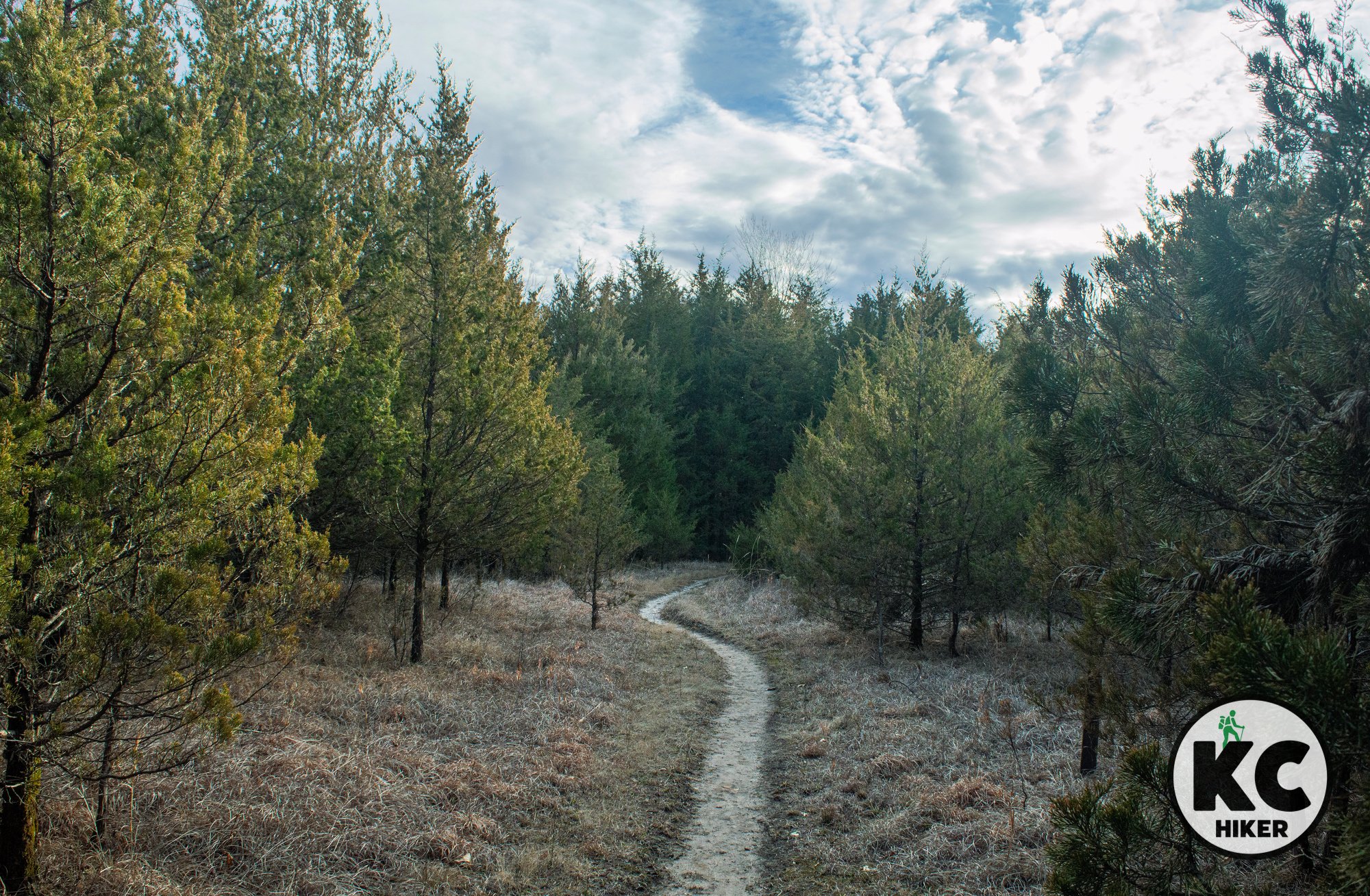
Moon Loop Trail in the Cedar Creek Ranger District of Mark Twain National Forest
A six-mile loop near Columbia follows a narrow trail through thick woods.
Trail Moon Loop, Cedar Creek Ranger District, Mark Twain National Forest
Overview
Moon Loop is a trail in the small segment of Mark Twain National Forest that is north of the Missouri River near Columbia, Mo. This pleasant six-miler is a mostly level walk through dense, dark forest comprised mostly of cedar, oak and hickory. It crosses Big Branch Creek – a crystalline rocky stream – two times. There are also occasional gaps of prairie. Moon Loop is a restoration success story. Before the Great Depression, the area was intensely farmed and quarried. This depleted the soil and caused many residents to leave in the 1930s. Some remnants of their farming efforts remain. The name “Moon Loop” refers to the appearance of the area before reclamation efforts were underway. This quiet, wooded trail is testament to reforestation efforts.Other hiking opportunities near Columbia, Mo.
Length
The loop is about six miles long.
Address and location
There are five trailheads for Moon Loop. All are rural and you can view them on the trail map below. The only one with an actual street address is an east trailhead at 8582-9201 S. Ginn Lane, Columbia, MO 65201. Parking is limited and will be on grass or gravel. Most access roads are gravel.
Conditions Moon Loop is a natural surface trail that is in excellent condition. Topography is mostly level but there are some moderate hills and a few creek crossings.
Kid friendly? Kids will have to be hearty hikers to enjoy this trail. Highlights for them will be the opportunities to play in Big Branch Creek.
How busy? This trail is near Columbia, Mo., and is moderately trafficked.
Pets Yes, on a leash (unless otherwise designated).
Bikes Yes unless otherwise designated.
Restrooms are not available.



Explore a rocky wonderland at Three Creeks reserve
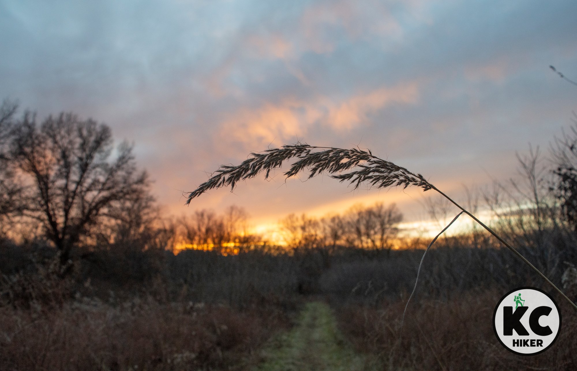
Three Creeks Conservation Area comprises 1,600 acres in Boone County, south of Columbia, Mo. About seven miles of trails wind through rocky topography, across streams, prairie and forested uplands. The landscape is known as Karst, which is characterized by eroded limestone. Features include caves, springs and eroding ridgelines. A large overhang with caverns is a popular attraction.

Three Creeks Conservation Area, Boone County, Mo.
About seven miles of trails explore rocky bluffs, caves, forest and prairie near Columbia, Mo.
Trail Three Creeks Conservation Area
Overview
Three Creeks Conservation Area comprises 1,600 acres in Boone County, south of Columbia, Mo. About seven miles of trails wind through rocky topography, across streams, prairie and forested uplands. The landscape is known as Karst, which is characterized by eroded limestone. Features include caves, springs and eroding ridgelines.
Length
There are about seven miles of trails on four different sections.
Address and location
Three Creeks Conservation Area is located in southern Boone County between Ashland and Columbia, Mo. There are four different access points. See the trail map or highway maps below to choose an access point.
Conditions Three Creeks Conservation Area has dirt trails, so you can expect muddy conditions when wet. Most of the trail is easy-to-moderate in difficulty, although there are a few steep grades.
Kid friendly? Kids will have to be hearty hikers to enjoy this trail. If they are, there are plenty of creeks, cliffs and caves to explore.
How busy? This trail is near Columbia, Mo., and is usually moderately trafficked.
Pets Yes, on a leash (unless otherwise designated).
Bikes Yes unless otherwise designated.
Restrooms are not available.
Other hiking opportunities near Columbia, Mo.


Preparation Canyon: Solitude in Iowa’s Loess Hills
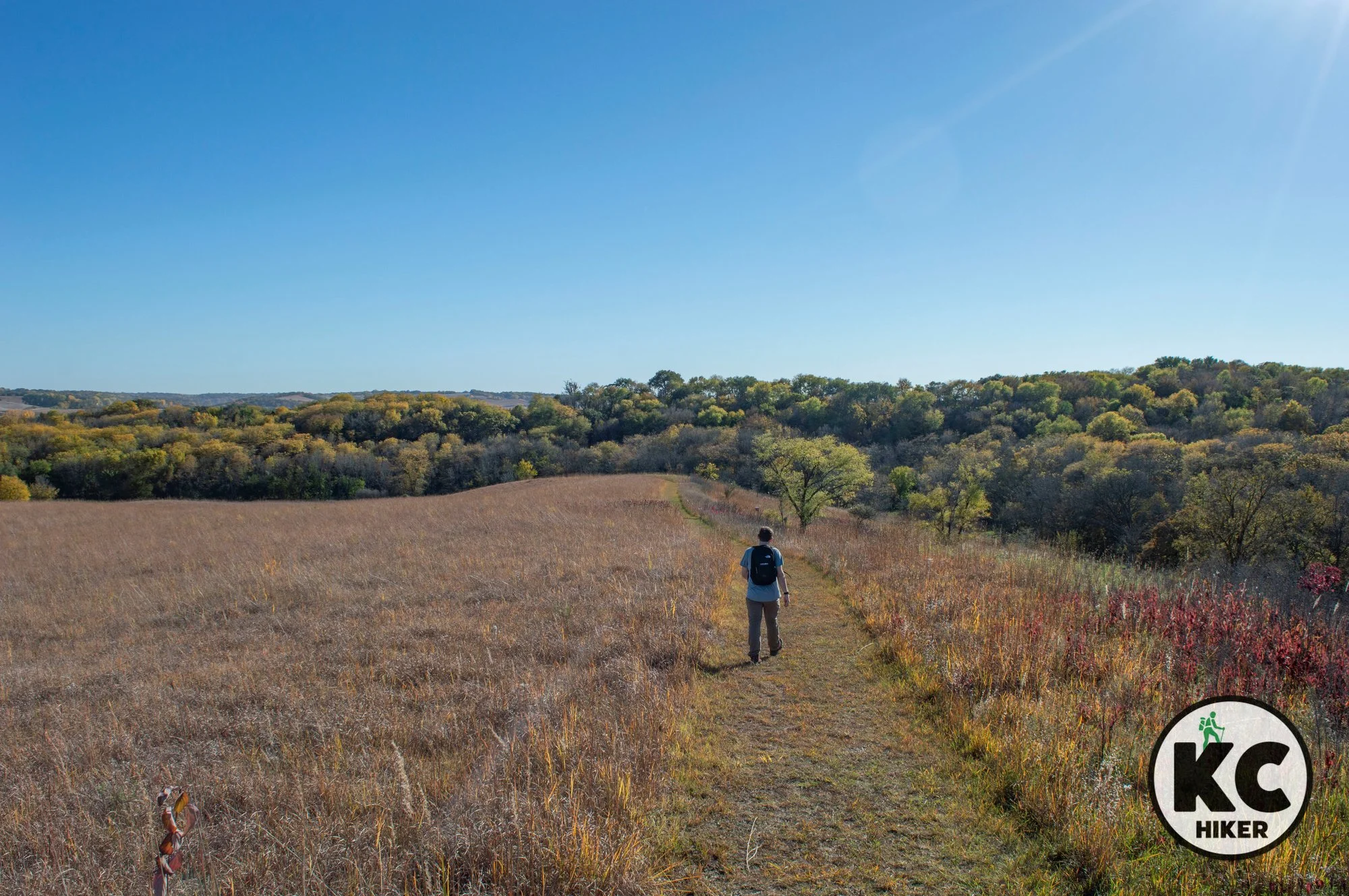
Preparation Canyon State Park comprises 344 acres of forested hills and prairie ridges in a remote region of western Iowa. The name stems from the now lost town of Preparation, an 1850s Mormon settlement. About four miles of trails wind through the park. In addition to trails, Preparation Canyon features 10 primitive camping sites. Travel time to this area borders on four hours, so it’s probably best to view it as an overnight option.

Once the site of a frontier town, this state park invites visitors to camp and hike in remote ravines and along summits.
Trail Preparation Canyon State Park offers backcountry hiking and primitive camping in Western Iowa.
Overview
Canyons in Iowa? Well, that may be a stretch. But there are definitely steep valleys in this region of the state’s Loess Hills. Preparation Canyon State Park comprises 344 acres of forested hills and prairie ridges in a remote region of western Iowa. The name stems from the now lost town of Preparation, an 1850s Mormon settlement. About four miles of trails wind through the park. In addition to trails, Preparation Canyon features 10 primitive camping sites. Travel time to this area borders on four hours, so it’s probably best to view it as an overnight option.
Length Four miles total.
Address and location 340th St, Moorhead, Iowa 51558
Conditions
Trails are natural surface and are generally well marked and maintained. There is significant elevation gain and precipitation will make the surface unstable.Kid friendly? This trail is for hearty children.
How busy? This area is rural and remote. However, it is about one hour from the Omaha/Council Bluffs area and can have moderate traffic in peak season.
Pets Yes, on a leash.
Bikes Yes, unless posted otherwise.
Restrooms are available at the main parking area.
Other area attractions include:
Arbor Day Farm is a family-oriented park (paid admission required) in Nebraska City, Neb. Lied Lodge, also in Nebraska City, is a unique, nature-oriented hotel.
Nebraska City is also home to the Lewis & Clark Interpretive Trail and Visitors Center (paid admission) and Arbor Lodge State Historical Park (paid admission).



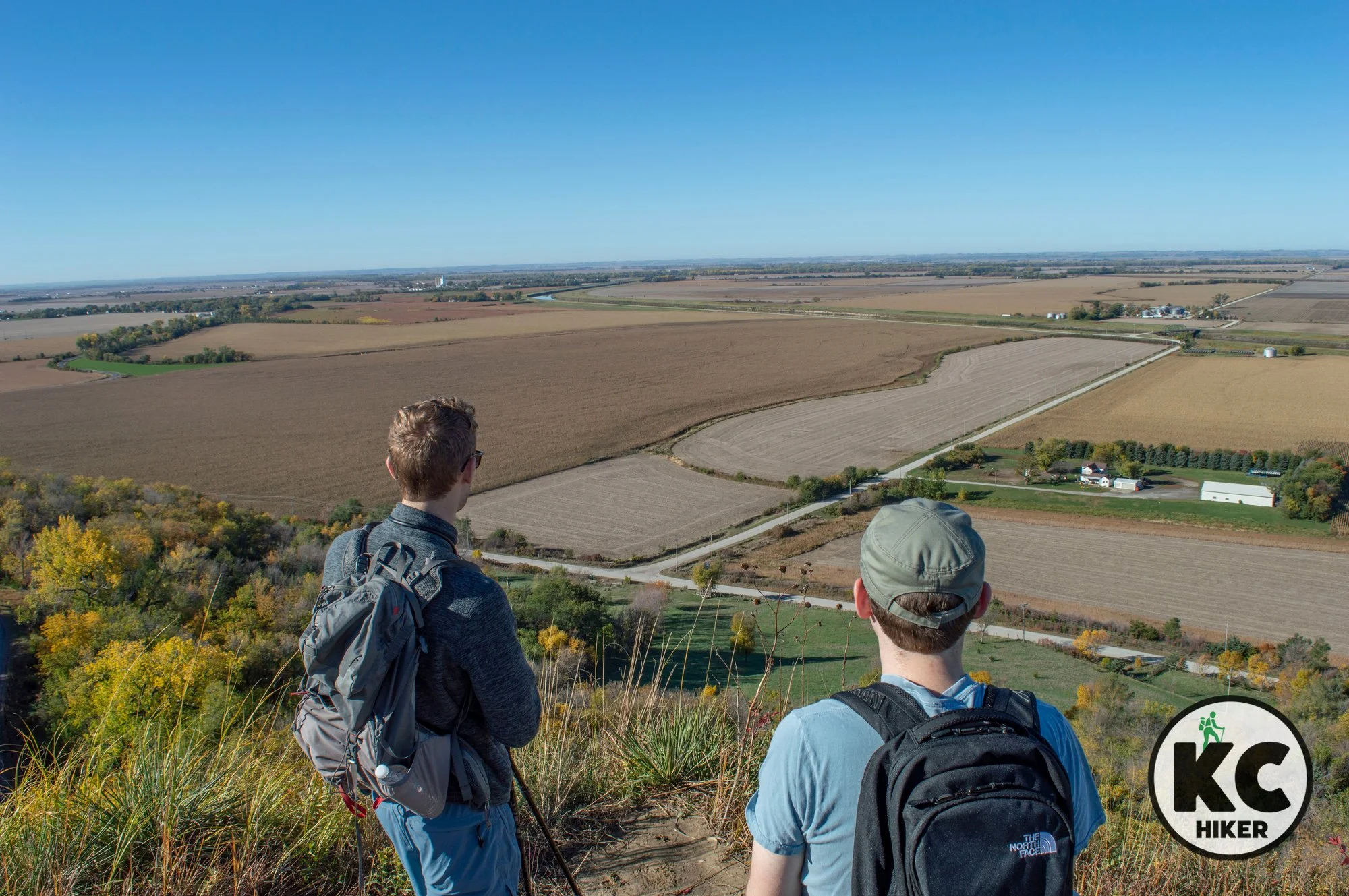
Brent’s Trail rises high above the plains of western Iowa
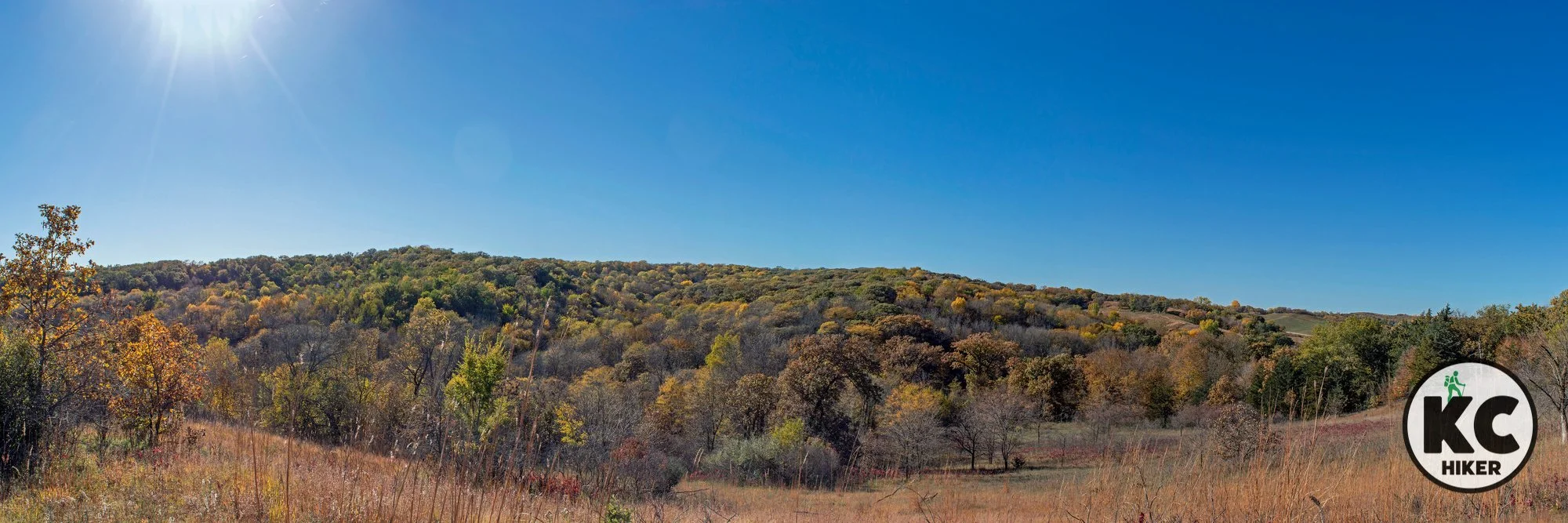
Brent’s Trail is a unique Midwestern hiking experience. The Loess Hills rise sharply from Iowa’s Missouri River bottomlands, jutting up to 400 feet above the plains. The steep grades make them almost impassable in some areas. Atop these powdery ridges runs Brent’s Trail.

Brent's Trail in the Loess Hills of western Iowa: Murray Hill trailhead.
Hike 12 miles of trails in one of the most scenic parts of Iowa’s Loess Hills.
Trail Brent’s Trail
Overview
Brent’s Trail is a unique Midwestern hiking experience. The Loess Hills rise sharply from Iowa’s Missouri River bottomlands, jutting 400 feet above the plains. The steep grades make them almost impassable in some areas. Atop these powdery ridges runs Brent’s Trail. It’s a point-to-point hike with a core route of 8 miles each way. Extensions lengthen it to 12 total miles. While these hills are ubiquitous – they run from Missouri to South Dakota – they’re mostly private property. Finding an area to explore is uncommon, and an area with established trails is even more of a prize. The scenery is spectacular and truly unique. Atop the hills, hikers can see for miles. Fall colors are vibrant.
Brent’s Trail skirts private property but is mostly contained within Loess Hills State Forest. State forest lands are open for primitive camping. However, this will indeed mean roughing it, with no restrooms or water. In addition, the Loess Hills tend to absorb all moisture, meaning there are few streams where you can even find water to purify or boil.
About the Loess Hills
Loess Hills were formed by wind-blown soil and not by geologic uplift, glacial deposits or erosion. They’ve been described as having a “wrinkled” look. Their appearance is striking: Scarred hills shoot up suddenly from river bottom flatlands with no transition zone. Natural terraces often form.
These “crumbly” hills were devoid of trees in their natural state, often because wildfires and grazing buffalo and elk kept them bare. With fire suppression and farming came trees, so much of the hill range is cloaked in forest. Yet much of the original “fire” remains in these hills, with plants usually associated with the West (such as Yucca) popping up here.
While loess soils are not unique to Missouri and Iowa, their size here is unmatched except for a region in China. This region is truly unique in the Americas.
Length Brent’s Trail includes 12 total miles. The original route was eight miles each way, but spurs have been added.
Address and location There are several points to access Brent’s Trail. These include:
Murray Hill Trailhead 1634 County Road F20, Little Sioux, Iowa 51545
Gleason-Hubel Wildlife Area 1394 Larpenteur Memorial Rd, Little Sioux, Iowa 51545
You can also access the trail from south of Gleason-Hubel Wildlife Area via Loess Hills State Forest from 165th Trail Road (download the map below)
Conditions
This dirt trail is generally well maintained but there is some seasonal overgrowth. Consistent marker signs help you know where you’re going. With that said, this trail is highly strenuous with numerous elevation changes. While most hilly terrain features switchbacks, Brent’s Trail just goes straight up and up and up. In addition, the Loess soil is extremely slippery when wet and could be impassable or even dangerous. The trail varies from wooded groves to fully exposed ridges, so be prepared to adapt. If you grow too fatigued, there are a few points where you can exit to roads and expedite your return trip.Kid friendly? Only the most athletic of children should attempt this trail.
How busy? This area is rural and remote. However, it is less than one hour from the Omaha/Council Bluffs area and can have moderate traffic in peak season.
Pets Yes, on a leash.
Bikes You’d be crazy.
Restrooms are not available.
Other area attractions include:
Arbor Day Farm is a family-oriented park (paid admission required) in Nebraska City, Neb. Lied Lodge, also in Nebraska City, is a unique, nature-oriented hotel.
Nebraska City is also home to the Lewis & Clark Interpretive Trail and Visitors Center (paid admission) and Arbor Lodge State Historical Park (paid admission).


Murray Hill trailhead location for Brent’s Trail
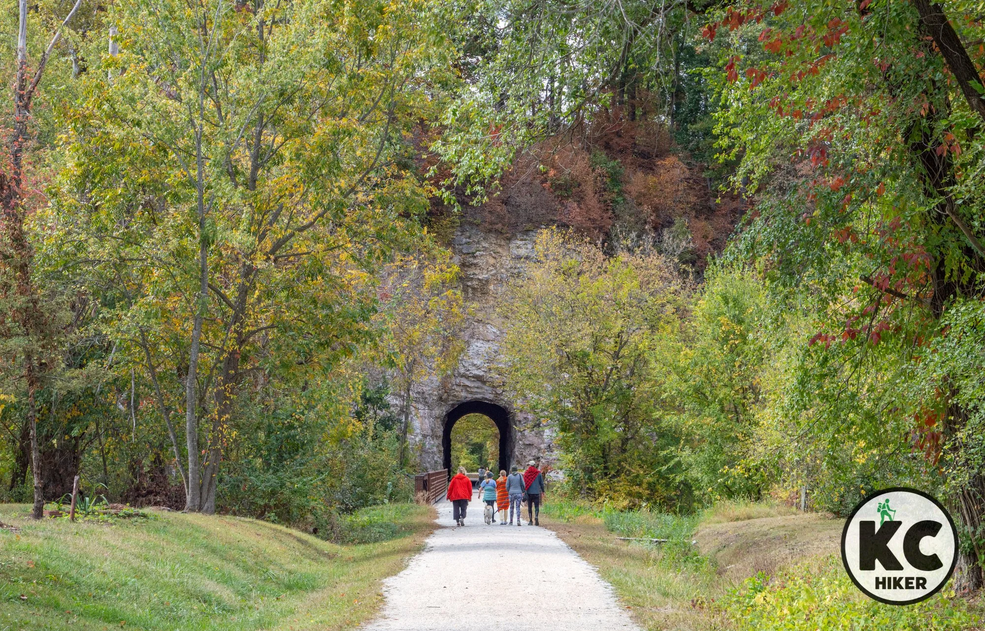
KATY Trail at Rocheport and Diana Bend
The section of the KATY Trail that runs past Rocheport, Mo., and through Diana Bend Conservation Area, is a jewel. This section hugs the Missouri River tightly in the shadow of towering 200-foot rock bluffs and dense forest. A local icon is an 1892 railroad tunnel, which has now become part of the KATY Trail.

KATY Trail, Rocheport, Mo., at Diana Bend Conservation Area
This Central Missouri section of the rail trail is one of its most scenic.
Trail KATY Trail, Rocheport, Mo., trailhead.
Overview
The 287-mile long KATY Trail runs from Pleasant Hill, Mo., to St. Louis, Mo. It’s the longest recreational rail trail in the United States. But let’s be honest: Not all parts of it are equal from a scenic point of view. This is especially true if you’re walking. There are only so many miles of flat soybean and cornfields you can take. In addition, very few people will complete the entire length of the trail. Because of this, it’s essential for most people to pick highlights and hike or bike in those areas. The section of the trail that runs past Rocheport, Mo., and through Diana Bend Conservation Area, is a jewel. This section hugs the Missouri River tightly in the shadow of towering 200-foot rock bluffs and dense forest. Heading east from Rocheport, the trail enters the conservation area via an 1892 railroad tunnel. Here, the trail also runs through, and adjacent to, the Diana Bend Conservation Area, a 1,343-acre preserve alongside the river. By taking a short detour, you can take a Diana Bend trail to the top of the bluffs for a view of the river valley. The viewing platform is actually on top of the railroad tunnel, with hikers and bikers passing below you.
Length
There are about three miles of trails in the Diana Bend Conservation Area. You can walk or bike the KATY Trail as much or little as you like.
Address and location
The Rocheport Trailhead is located at 700 1st Street, Rocheport, Mo. 65279. However, you can easily access the trail from any of the streets that connect to First Street. The 1892 MKT Tunnel is just west of town.
Diana Bend Conservation Area can be accessed in several places, so don’t let your GPS lead you astray. If you want to walk the steep blufftop trail that leads above the tunnel, the access point is 440 Central Street, Rocheport, MO 65279. Because it doesn’t look like a trailhead (even though it is), here is an image:

There is also a shorter, easier way to reach the blufftop if you don’t want to walk the longer, steeper trail. As you enter the MKT Tunnel from the east, there is a posted entrance sign for Diana Bend. You won’t experience as much of the forest or blufftop prairie, but you’ll get to the top much quicker. Just look for this sign:

Conditions The KATY Trail is gravel and expertly maintained. Rain and snow, of course, will impact your experience. The Diana Bend Conservation Area trails are a mowed surface (with a few exceptions). It’s easy to get lost on conservation trails because of the presence of many “rabbit trails” and side trails that aren’t listed on maps. The very steep and longer, blufftop trail has trails that don’t correspond with the map, so trial and error may be required.
Kid friendly? The KATY Trail is level and easy, but parents need to be mindful of bike traffic. The Diana Bend Trail is rugged and should be reserved for hearty hikers.
How busy? This trail is near Columbia, Mo., and can be heavily trafficked on ideal days and in peak season. It is one of the most popular sections of the entire KATY Trail.
Pets Yes, on a leash (unless otherwise designated).
Bikes Permitted on the KATY Trail.
Restrooms are available at the trailhead in Rocheport.
Other hiking opportunities near Columbia, Mo.



Hike atop Topeka at Skyline Park
Topeka and skylines? Indeed! Kansas gets a bum rap for being universally flat. Reality is that it contains diverse landscapes from level plains to buttes, canyons and rolling hills.
Topeka is a hilly city. Although not technically considered part of the Flint Hills, it’s only a few miles from them. But even apart from that, the city sits in the midst of ridges and bluffs that rise from the Kaw River Valley.
Skyline Park, in western Topeka, includes the city’s high point. It rises about 200 feet above the surrounding area. The 106-acre park is centered on a wooded hill that includes restored prairie areas at the top. In season, you’ll discover abundant wildflowers.

Another trail dispels the bogus idea of flatland Kansas.
Trail Skyline Park, Azura Trails, Topeka, Kansas
Overview
Topeka and skylines? Indeed! Kansas gets a bum rap for being universally flat. Reality is that it contains diverse landscapes from level plains to buttes, canyons and rolling hills.
Topeka is a hilly city. Although not technically considered part of the Flint Hills, it’s only a few miles from them. But even apart from that, the city sits in the midst of ridges and bluffs that rise from the Kaw River Valley.
Skyline Park, in western Topeka, includes the city’s high point. It rises about 200 feet above the surrounding area. The 106-acre park is centered on a wooded hill that includes restored prairie areas at the top. In season, you’ll discover abundant wildflowers.
Drive Time It’s about an hour and 15 minutes from Downtown Kansas City.
Length There are 4.5 miles of trails divided into four trails.
Address and location
The trailhead is located at S.W. Skyline Parkway, Topeka, KS 66614Conditions This trail has a natural surface and is well marked. There are moderate elevation changes.
Kid friendly? Although not suitable for strollers, this trail is kid friendly and will likely be enjoyed by children who can walk (or whom you can carry).
How busy? This trail is located in an urban/suburban area and is moderately trafficked.
Pets Yes, on a leash, unless posted otherwise.
Bikes Yes, unless posted otherwise.
Restrooms, of a portable variety, are sometimes stationed at the park.
Area Attractions


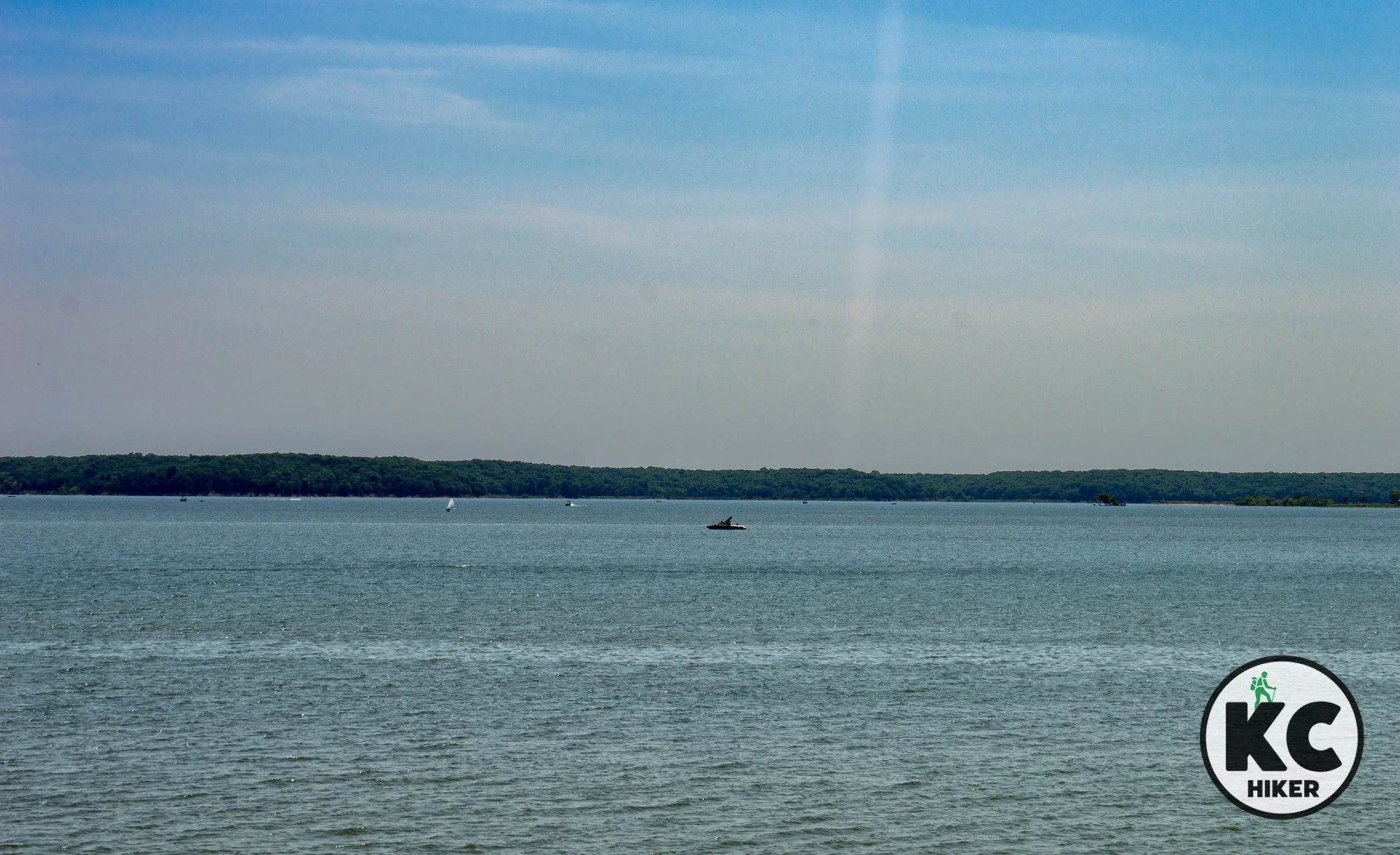
Explore Clinton Lake’s rugged North Shore Trails
Clinton Lake State Park, in Lawrence, Kansas, is the home to several trail systems including the North Shore Trails. About 25 miles of trails wind through rugged hillsides, along the lake and through deep woods. Although the system is most popular with mountain bikers, hikers share the trail with them.

Clinton Lake North Shore Trails, Lawrence, Kansas
Hikers and bikers can explore the steep waterfront of Clinton Lake on 25 miles of single-track trails.
Trails Clinton Lake North Shore Trails.
Overview
Clinton Lake State Park, in Lawrence, Kansas, is the home to several trail systems including the North Shore Trails. About 25 miles of trails wind through rugged hillsides, along the lake and through deep woods. Although the system is most popular with mountain bikers, hikers share the trail with them. The trail’s strong point is its sheer length. For mountain bikers, it’s a challenge of endurance and technical skill. Hikers, however, may find the switchbacks and steep forest repetitive after a few miles. The North Shore Trails provide the quiet of an extended forest experience away from the hubbub if city life. It’s just a matter of how far you want to trek.
Length There are 25 miles on two trails: Blue and White.
Address and location The trailhead at Overlook Park provides free access to the trail; other points require paying park admission. The North Shore Trailhead parking is at: N. 1402 Road, Lawrence, KS 66049
Conditions Trails are natural surface and single track and well marked. You’ll encounter muddy conditions when it rains or snow melts. There is constant elevation change, making it a moderate to challenging hike.
Kid friendly? These trails are rugged. Children will need to be able to walk themselves.
How busy? This trail system is part of the Lawrence area and draws people from Greater Kansas City. Clinton Lake State Park can be busy on holidays and during peak season.
Pets Yes, on a leash (unless otherwise designated).
Bikes are allowed.
Restrooms are available at Overlook Park and other locations within the state park, but the trails themselves do not offer facilities.


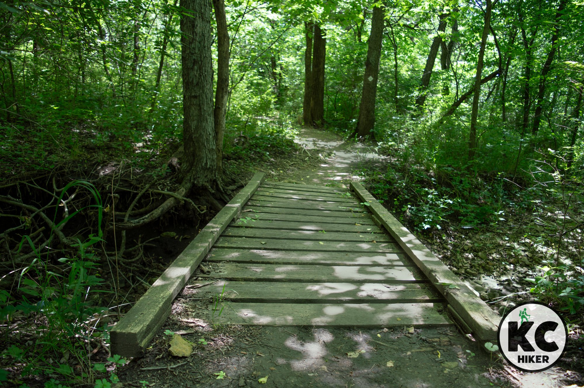

Knob Noster State Park: An island of forest in Central Missouri
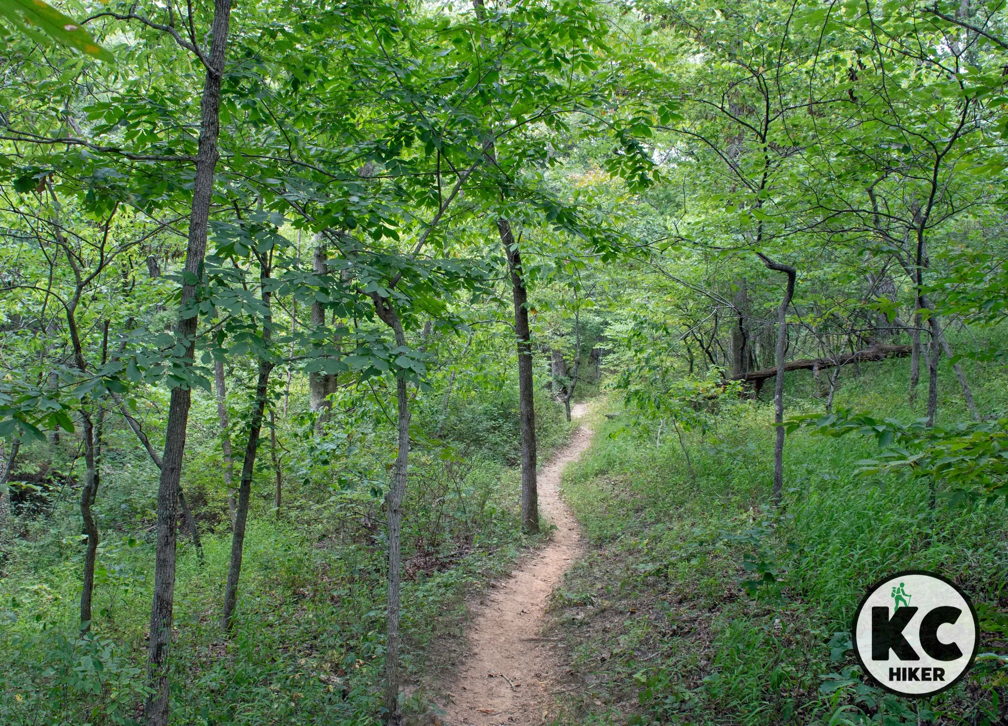
Knob Noster State Park preserves 4,000 acres of woodlands and an 18-mile trail system in Central Missouri, 10 miles east of Warrensburg, Missouri.

Surrounded by farmland, 4,000 acres of woods are preserved, with 18 miles of trails.
Trails There are seven trails at Knob Noster State Park, totaling 18 miles.
Overview
The drive from Kansas City east on U.S. 50 Highway may seem pleasant, if uneventful. However, the town with a funny name is home to a park that preserves 4,000 acres of native woodland. The small town of Knob Noster (German for “our hill”) is best known for being the nearest community to Whiteman Air Force Base (home of the B-2 Stealth Bomber). It’s less known for this pristine park. It’s located in a geographic region known as the Osage Plains, which was originally a transition zone between forest and prairie. In its pre-agricultural environment, there was more prairie than remains today. Now it’s mostly forested. You’ll find gently-rolling terrain throughout the park. In addition to trails, there are campgrounds and a few small lakes. At Knob Noster, you don’t traverse the forest in search of other highlights – the forest is the highlight.It’s comprised of trees including cedar, hickory, oak, hackberry, pawpaw and redbud. Woods and lakes provide a home for great blue herons, pileated woodpeckers, turkeys, deer, fox, opossum, raccoons, owls and numerous birds.
Once you get away from the roadways, sounds of civilization fade. The woods are deep, dark and wild. Need to get away from it all? This is the place.
Length There are 18 miles on seven trails.
Address and location Knob Noster State Park, 873 SE 10 Road, Knob Noster, MO 65336.
Conditions Trails are natural surface and single track and well marked. You’ll encounter muddy conditions when it rains or snow melts.
Kid friendly? These trails aren’t oriented toward strollers. There are a variety of trail lengths, so children can walk as little as a half-mile. The longest trail system is 6.5-miles in length.
How busy? This is generally a quiet and remote area.
Pets Yes, on a leash (unless otherwise designated).
Bikes are allowed on some trails.
Restrooms are available at the park office, at the McAdoo Trailhead and in camping areas seasonally.


Explore a remote peninsula of Clinton Lake at Woodridge Primitive Park
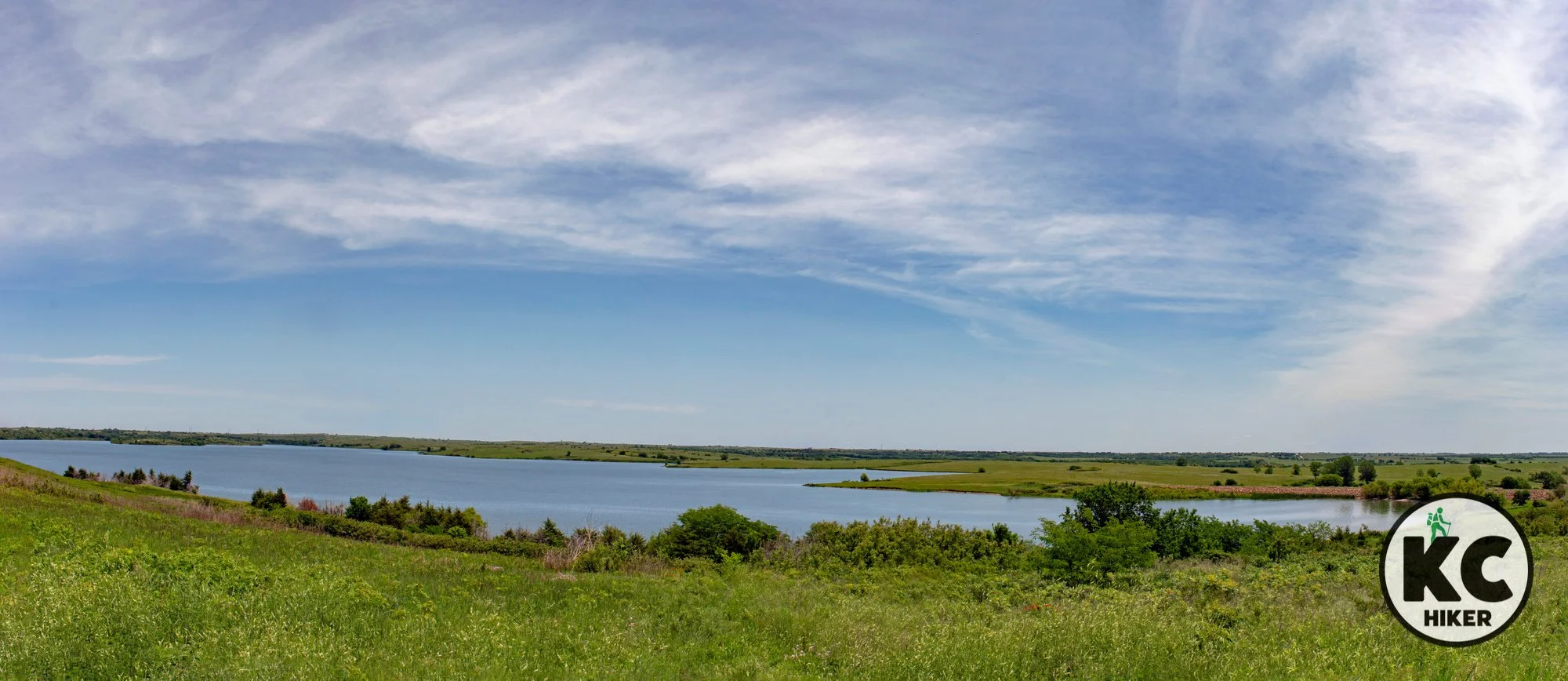
Explore a remote peninsula of Clinton Lake at Woodridge Primitive Park. The George Latham Trail is a 4.5-miles loop in Douglas County, Kansas, east of Lawrence. This trail, which winds through thick forest and prairie and brushes the lakeshore, features 15 primitive camping sites.

The George Latham Trail explores a remote peninsula on Clinton Lake near Lawrence, Kansas.
A lonely and wild corner of this Douglas County lake features a rugged 4.5-mile loop and numerous campsites.
Trails George Latham Trail at Woodridge Primitive Park
Overview
Once you leave the trailhead, it’s serenely quiet here. Miles removed from the marina in Lawrence, the sounds of nature push out the rumble of civilization. This 4.5-mile loop begins and ends at a public campground. It’s entirely on property that belongs to the U.S. Army Corps of Engineers and is all open to the public. After leaving the trailhead, you’ll travel through thick forests, alongside fields and beside the rocky shore of Clinton Lake. One of the greatest appeals of this area is the availability of primitive camping sites (pack it in, pack it out, no utilities). There are 15 designated, marked campsites with fire rings along this loop. Some are deep in the forest while others are along the lakeshore. These free sites are apparently available on a “finders keepers” basis because the Corps has no instructions on reserving a site. If you want to camp nearby, but still want access to a toilet and drinking water, you can camp at the trailhead. It won’t be private, but it will have more creature comforts.
Length One 4.5-mile loop.
Address and location Woodridge Public Use Area, Berryton, KS 66409 (see map below).
Conditions The trail is generally clear and well-marked. In summer, there is some overgrowth which could expose you to insects and poison ivy. If those are concerns, then it’s best to go during cooler weather. There are some moderate elevation changes and the trail is natural surface, not paved.
Kid friendly? This is a challenging walk not suitable to strollers.
How busy? This is generally a quiet and remote area.
Pets Yes, on a leash (unless otherwise designated).
Bikes are not allowed.
Restrooms are available at the trailhead/parking area.


Walk the Oregon Trail amid Flint Hills vistas
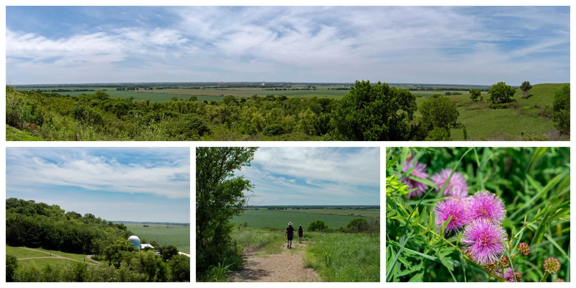
Oregon Trail settlers passed this spot on their journey west. Today a natural area provides distant views of the Kaw River Valley. Oregon Trail Nature Park is between Topeka and St Mary’s, Kansas.

Oregon Trail Nature Park, Evergy Jeffrey Energy Center, St. Mary's, Kansas
Oregon Trail settlers passed this spot on their journey west. Today a natural area provides distant views of the Kaw River Valley.
Trails Oregon Trail Nature Park
Overview
Oregon Trail Nature Park intersects with the route of the original Oregon Trail. Apart from its historical ties, the park is a spectacular preserve of native prairie and hills rising more than 200 feet above the Kaw River plain. It is in a somewhat remote location between Topeka and St. Mary’s, Kansas. In season, the park explodes with multi-colored wildflowers and myriad species of birds. The property is owned by the utility company Evergy, but is open to the public.
Length There are about two miles of trails with several loops.
Address and location Oregon Trail Nature Park, Oregon Trail Road, St. Marys, KS 66536
Conditions Trails are well marked and generally well maintained. The trails are challenging, with an elevation gain of about 200 feet and steep grades. In addition, there is little shade, so exposure to sun and wind can be an issue.
Kid friendly? This is a challenging walk not suitable to strollers.
How busy? This is generally a quiet and remote area.
Pets Yes, on a leash (unless otherwise designated).
Bikes are allowed unless posted otherwise.
Restrooms are available at the picnic shelter.
Other area hiking destinations



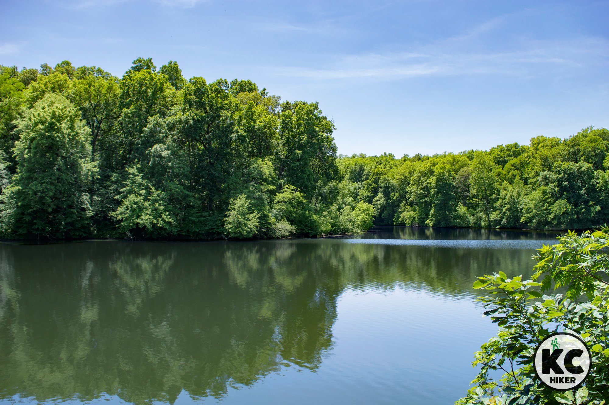
Van Meter State Park: An island of green among fields of gold
Rolling hills, the Missouri River and Native American heritage make Van Meter State Park an unexpected find in Central Missouri.
Van Meter State Park, near Marshall, Mo.
Rolling hills, the Missouri River and Native American heritage make this an unexpected find in Central Missouri.
Trails Van Meter State Park, near Marshall, Mo.
Overview
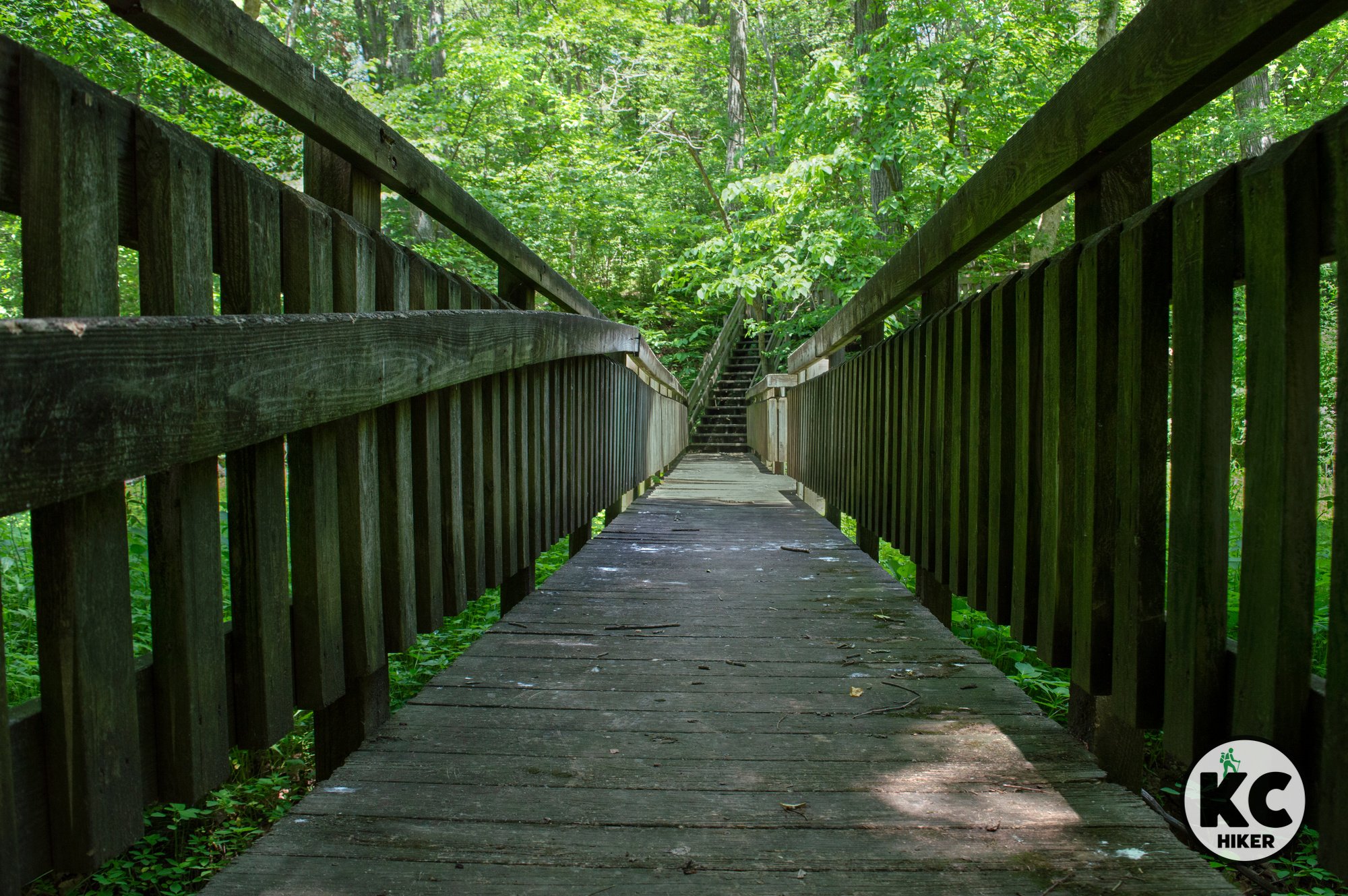
Van Meter State Park stands out like a green thumb in the gently-rolling prairies of Mid-Missouri. The park is built around two geologic features: loess hills and the Missouri River. Loess is soft soil blown and deposited by the wind. It has created spectacular landforms in Missouri, Nebraska, Iowa and other locations around the world. Here, it has created steep-sloping hills that rise abruptly from the Missouri River plain. When it erodes, it creates steep drop-offs and ravines. The hills were natively devoid of trees. With the arrival of agriculture came fire suppression and the rise of forests. These cover most of the park, although there are still remnants of prairie. The Missouri River plain is also a distinctive of the park. As the hills descend, they meet head-tall grasses which populate soggy bottomland soil. It would be nearly impenetrable were it not for metal boardwalks that allow visitors to explore the Oumessourit Natural Area. The park is the site of a Missouria Indian village that sat at the Great Bend of the Missouri River until about 1800. Several artifacts have been preserved.
Length There are about five miles of trails in the park with a total of six trails. They range from one-tenth of a miles to about two miles in length.
Address and location Van Meter State Park, 32146 MO-122, Miami, MO 65344.
Conditions These are natural surface trails that are well marked. Because they are explore hilly terrain, there are some moderately challenging sections on the Loess Hills Trail.
Kid friendly? These trails are generally easy to walk, but they would not accommodate strollers.
How busy? This is generally a quiet area, but holiday weekends will increase the population. It is a popular camping site.
Pets Yes, on a leash (unless otherwise designated).
Bikes are not allowed on trails.
Restrooms are available in the camping area.


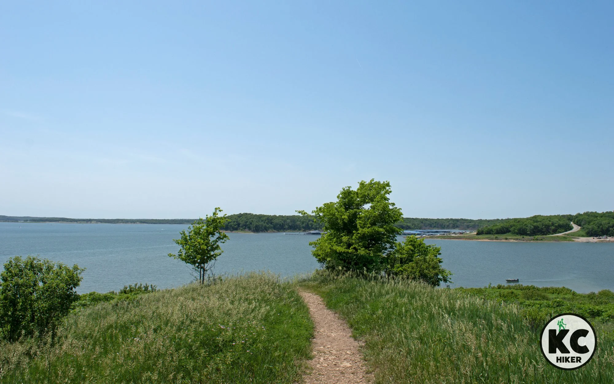
Get a scenic Clinton Lake vista at Overlook Park
The Sanders Mound Trail at Overlook Park is mostly-paved and leads to a hilltop view of the the Clinton Lake, marina and dam in Lawrence, Kansas. It also connects to the North Shore Trails system.

Overlook Park, Sanders Mound Trail at Clinton Lake, Lawrence, Kansas
The Sanders Mound Trail is mostly-paved and leads you to a hilltop view of the lake, marina and dam.
Trail Sanders Mound Trail at Overlook Park
Overview
The Sanders Mound Trail leads from the lookout deck at Overlook Park down the slope and into a prairie area. From there, it heads back uphill via a short dirt path to the top of Sanders Mound. This is a small but steep hill that offers a commanding view of Clinton Lake. This short trail can be enjoyed in combination with other shorter and longer trails in the Lawrence, Kansas, area.
Drive Time The main trailhead is 45 minutes from Downtown Kansas City.
Length 1.2-miles total (out and back).
Address and location
Overlook Park trailhead N. 1402 Road, Lawrence, KS 66049.
Conditions This trail is wide and paved until it reaches the base of the hill that is Sanders Mound. From there, it is a steep dirt path for about 100 yards until you reach the summit. It’s also clearly marked. No map is necessary. There is little shade on this trail, so come prepared.
Kid friendly? This is a short trail that is also stroller-friendly (except for the last 100 yards).
How busy? This is a popular destination, but is unlikely to be overly crowded.
Pets Yes, on a leash, unless stated otherwise.
Restrooms are available at Overlook Park.


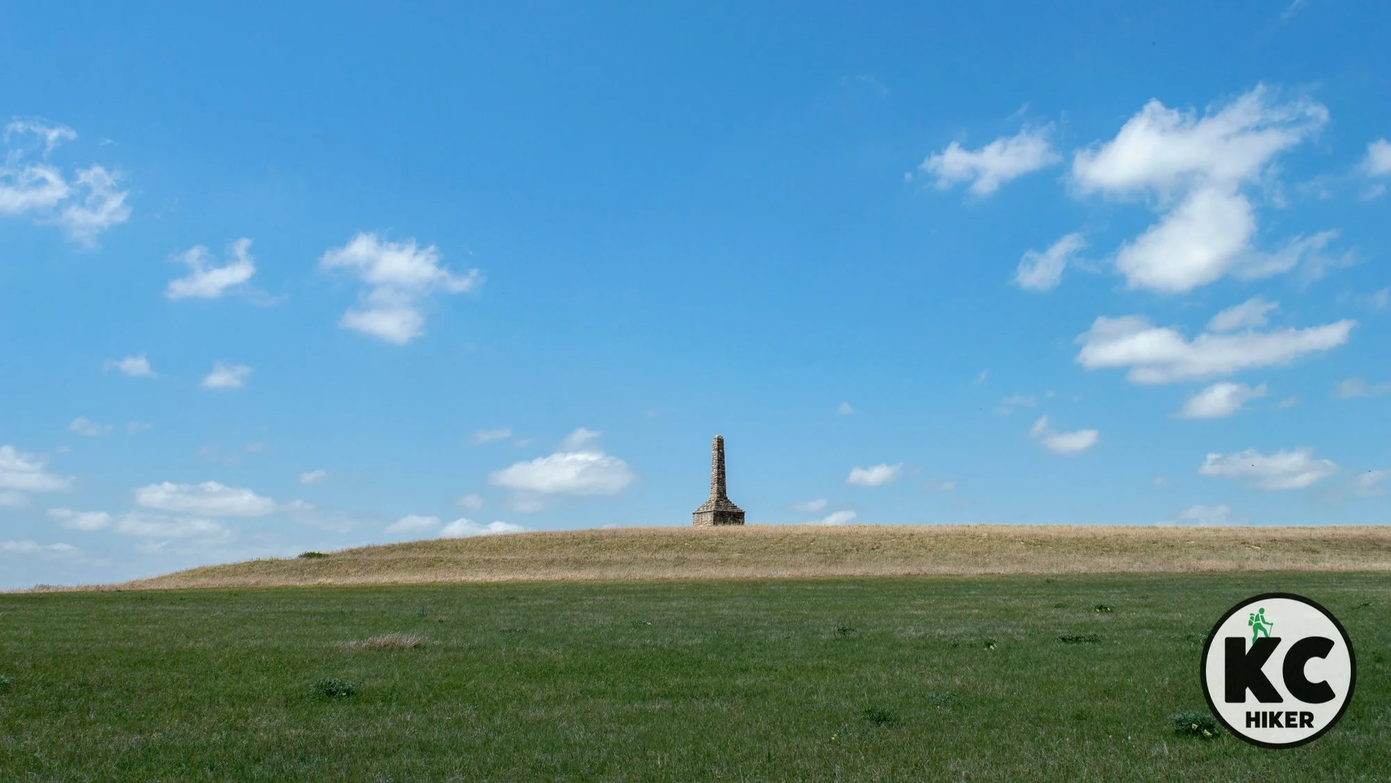
Kaw Nation Memorial explores the Flint Hills’ rugged past
When you walk the Flint Hills trail at the Kaw Nation Memorial, you’re stepping back in time. This stunning area was home to Kaw (Kanza) Native Americans from about 1840-1872. The state of Kansas is derived from the name of this nation. A 2-mile loop explores the history and scenery of this stunning area.

Kaw National Memorial near Council Grove in the Kansas Flint Hills.
A 2-mile loop rises to prairie ridgetops, then follows a pristine Flint Hills creek. History is in every step.
Trail Kaw Nation Memorial Trail
Overview
When you walk the Flint Hills trail at the Kaw Nation Memorial, you’re stepping back in time. This stunning area was home to Kaw (Kanza) Native Americans from about 1840-1872. The state of Kansas is derived from the name of this nation.
Like much of Native Americans experience with European settlers, the story is tragic. Yet the memorial was initiated by the Kaw Nation itself. The effort was supported with funds from the National Park Service, Kansas Historical Society and the state of Kansas. So while there is a sober-minded component of the monument, it’s also an opportunity to gain appreciation for Kaw culture and history while experiencing the stunning Flint Hills landscape they once called home.
The memorial and trail are centered on a 35-foot-tall limestone burial monument for an unknown Kaw warrior. His remains were found when the erosive forces of a nearby stream brought them to light long after the Kaw had left the area. The monument was built in 1925 by citizens of nearby Council Grove as a tribute to the warrior and the Kaw Nation. (The trail does not intersect with the monument; the Kaw Nation asks that it be observed from a distance.)
This scenic 168-acre area was the site of a forced relocation village. It is the last Kaw community in Kansas to be forcibly relocated to Oklahoma, which occurred in 1873.
This area, which is also known as Allegawaho Heritage Memorial Park, includes the remains of several government-built homes which were erected for the Kaw. Ironically, the Kaw rejected them, viewing them as an intrusion of American-European values. Instead, they used them for livestock and lived communally, as was their custom.
The memorial is five miles from Council Grove, Kansas. The Flint Hills Trail, which is 117 miles long and begins in Osawatomie, passes through the park and ends in Council Grove.
Drive Time The Kaw Nation Memorial is just under two hours from Downtown Kansas City.
Length Two mile loop.
Address and location
This location is referred to by several names: Kaw Nations Memorial, Kaw Indian Memorial and Allegawaho Memorial Heritage Park. They are all the same location. The address is:
S. 525 Rd, Council Grove, KS 66846 (Note: Some gravel road travel is required, but no special vehicle is needed).
Conditions This is a mowed and well-maintained trail. There is an elevation gain of about 150 feet. Wear insect repellant in season. Most of the trail is not shaded, so sun and heat will impact your walk.
Kid friendly? This is a trail for hearty kids who can walk on their own.
How busy? This area receives few visitors except on special historical occasions.
Pets Yes, on a leash, unless stated otherwise.
Restrooms are not available.
Nearby attractions
Tallgrass Prairie National Preserve is about 20 minutes south.
The historic town of Council Grove is home to a river walk and historical sites.


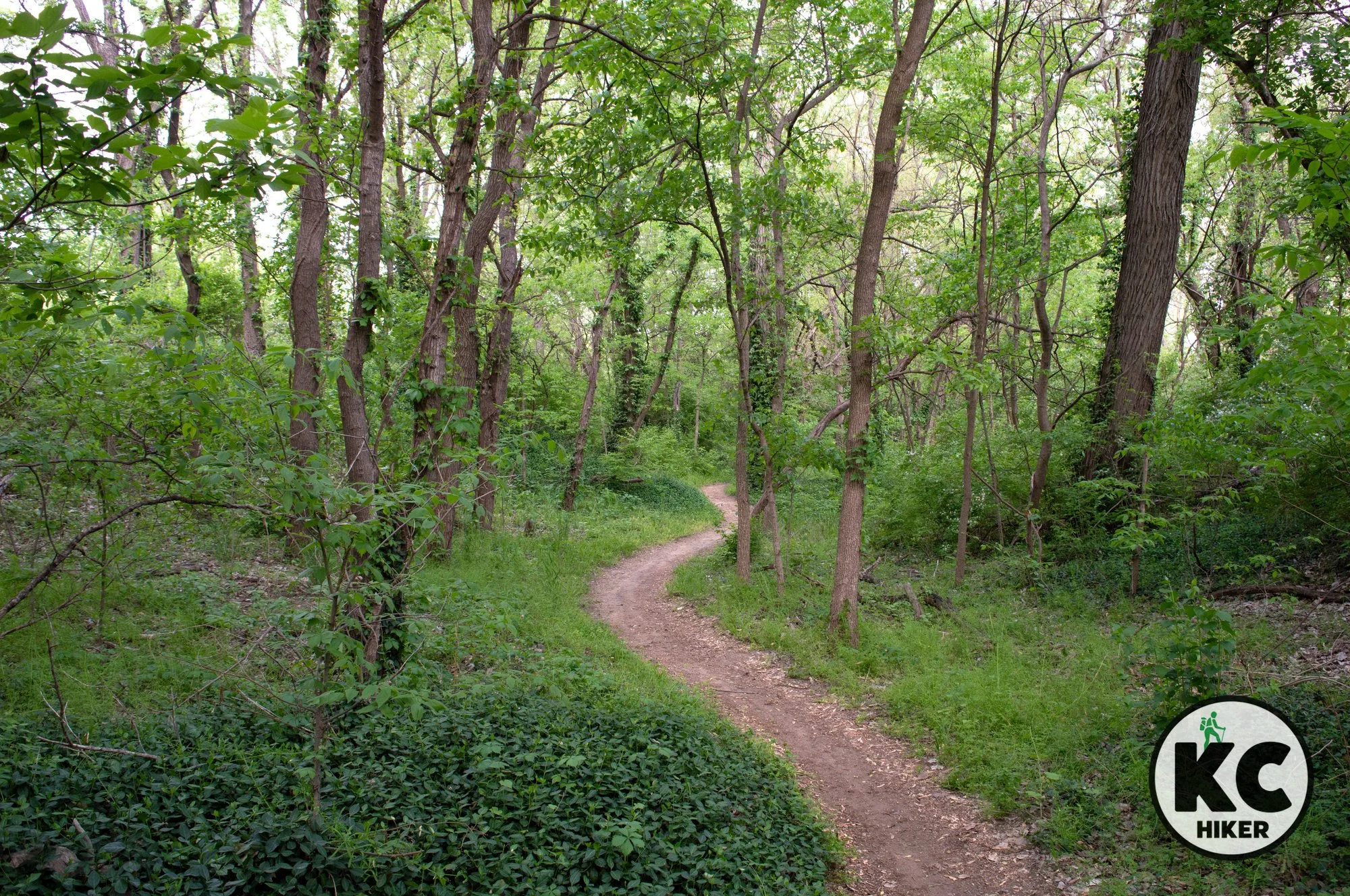
The Lawrence River Trail winds through pristine backcountry
The Lawrence River Trail winds 9 miles through thick riparian forest next to the Kaw River. The area is wild, with deer rustling in the woods and diverse bird species chirping in the forest canopy. Birds of prey, including herons, eagles and egrets, fish the Kaw River.

Lawrence River Trail, Lawrence, Kansas
A 9-mile loop explores bottomland forest beside the Kansas (Kaw) River in north Lawrence.
Trail Lawrence River Trail
Overview
The Lawrence River Trail winds 9 miles through riparian forest next to the Kaw River. The area is wild, with deer rustling in the woods and diverse bird species chirping in the forest canopy. Birds of prey, including herons, eagles and egrets, fish the Kaw River. In addition, the trail includes breaks and side paths that let you climb down to the river if you desire. If you have binoculars, bring them along.
Although you’re near a bustling campus community, it seems quite distant when you’re on the trail – particularly on its more remote sections. This is a popular destination in a college town and its primary “traffic” is mountain bikers. However, the trail is also open to walkers. Just be alert to passing cyclists and defer to them. If you’re seeking a quieter journey, start at the more rural east end of the trail at the Mud Creek Trailhead (info below).
This area is stunning in its natural beauty and colors, particularly in fall and spring. Note: The topography does not change much throughout the journey. You’ll wind through low-lying woodlands near the river the entire time. If that’s appealing, this trail is for you. If you like more variety, just pick a section and walk a few miles.
P.S. You can check trail status here. Avoid this trail when it’s muddy, both for safety and to preserve the trail.
P.S.S. This is not the Lawrence Levee trail. That’s a crushed gravel surface that follows the top of levees.
Drive Time The main trailhead is 45 minutes from Downtown Kansas City.
Length Nine mile loop.
Address and location
Main trailhead 1594 N. 3rd St., Lawrence, KS 66044.
Mud Creek trailhead (east side) can be accessed via Alexander Road
Conditions The Lawrence River Trail is expertly maintained by the Lawrence Mountain Bike Club. It is a single-track, natural surface trail. You can check trail status here. Avoid this trail when it’s muddy, both for safety and to preserve the trail.
Kid friendly? This trail holds few obstacles for children, though it’s too narrow and rugged for a stroller. Parents should be mindful of passing cyclists.
How busy? This is a popular destination in a college town. If you want a less-crowded option, go in winter or during the day Monday-Friday
Pets Yes, on a leash, unless stated otherwise.
Restrooms (portable) may be available at the parking area at 8th and Oak Streets.
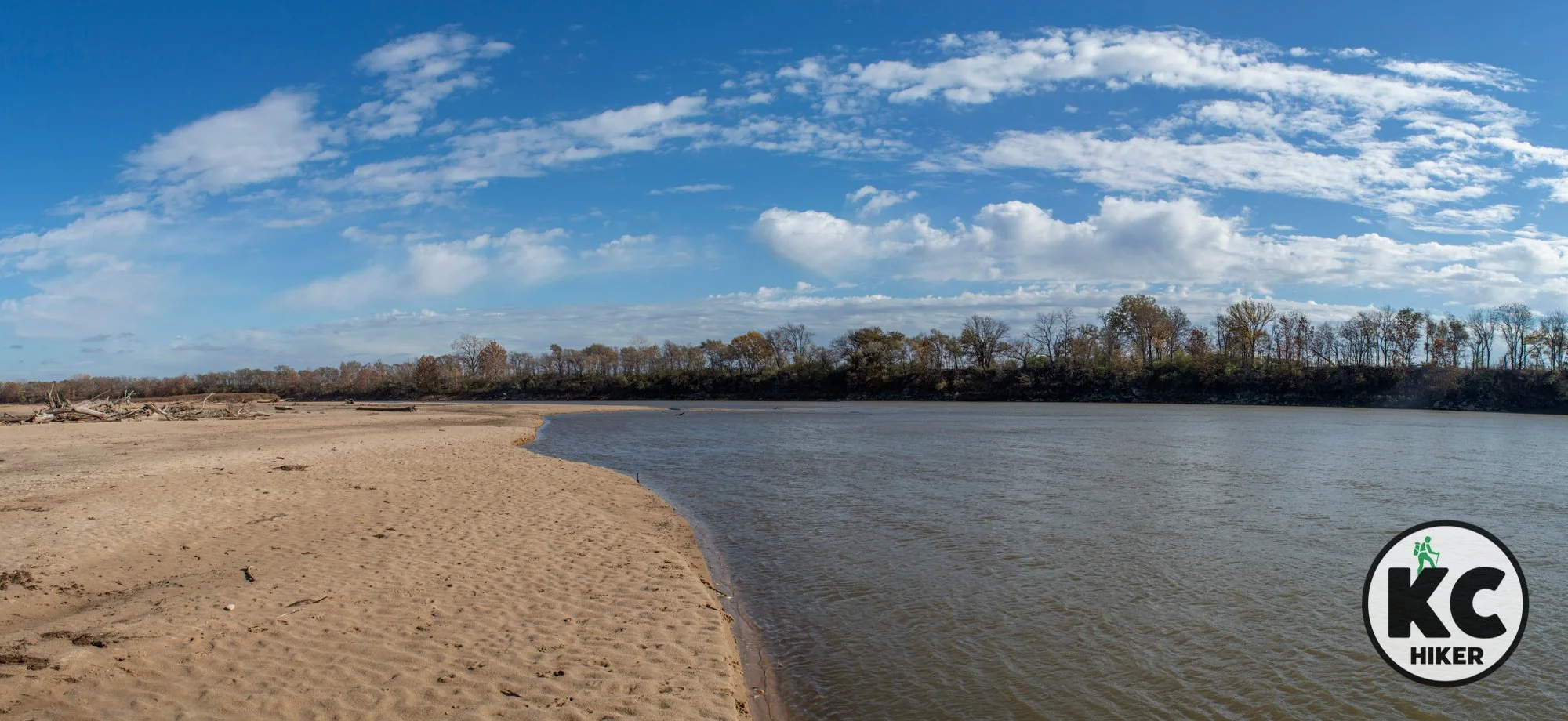


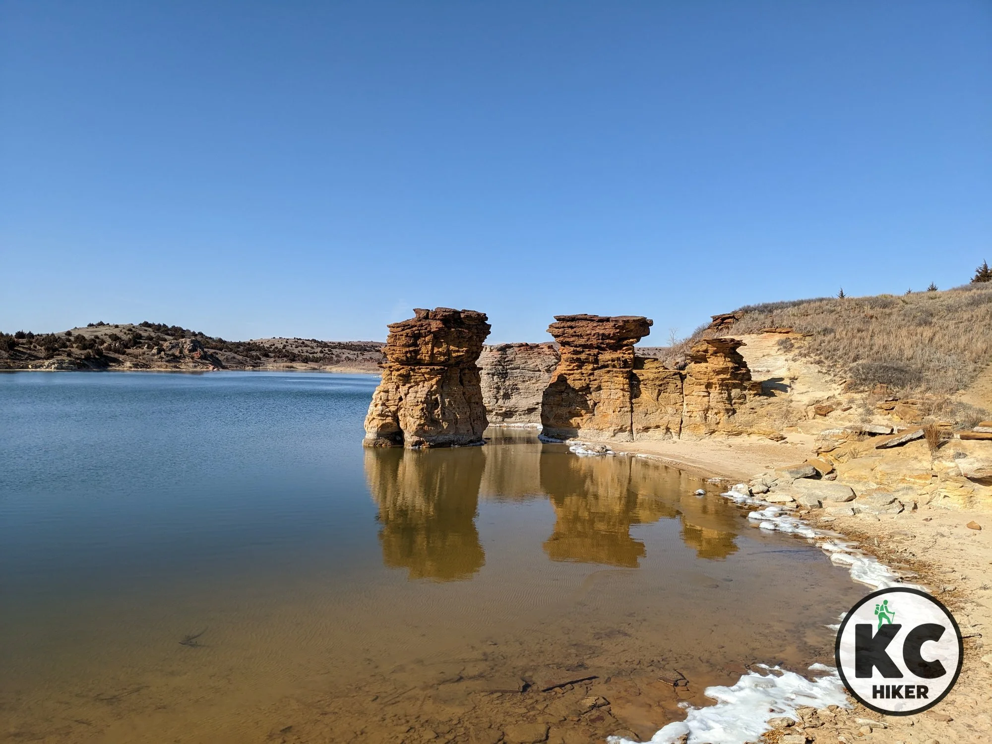
Central Kansas' Smoky Hills give way to the rugged cliffs of Wilson Lake
Wilson Lake State Park and nearby wildlife areas provides access to 9,000 acres of red rocks, cliffs and prairie in central Kansas. The state park is home to miles of mountain biking trails while the wildlife areas offer hiking and backpacking opportunities.

Wilson Lake lies in the midst of 9,000-acres of public land including Kansas’ Wilson Lake State Park.
This central Kansas state park and wildlife area provides access to 9,000 acres of red rocks, cliffs and prairie.
Trail Wilson Lake State Park and adjacent public lands
Overview
The Smoky Hills region of Kansas is west of the Flint Hills in the center of the state between Salina and Hays. Wilson Lake lies in the midst of 9,000 acres preserved by several public agencies. This area is characterized by spectacular red rock outcroppings, spires and cliffs. Vegetation begins to transition away from the Midwestern biome to plants such as yucca that are associated with the West. There are many miles of trails to explore this area, but you can also do so on the water and by venturing off trail.
Drive Time Wilson Lake State Park is about three and a-half hours from Downtown Kansas City.
Length The Switchgrass bike/hike trail is 24.5 miles long. However, it consists of numerous switchbacks and loops so you can travel as far or little as you like. Outside the park, the U.S. Army Corps of Engineers maintains the spectacular 3-mile Rock Town Trail on the north side of the Lake. There are also other shorter trails.
Address and location
Take I-70 about 57 miles west past Salina to State Highway 232. The nearest towns are Wilson and Sylvan Grove.Where to stay
This trip is too far for a day trip from Kansas City (for most of us, anyway). Although it’s remote, lodging is available. The historic Midland Railroad Hotel is nearby in Wilson. Cabins and campsites are available at the park. You may also find accommodations through vacation rental sites.Conditions These are natural surface trails that are well marked and maintained.
Kid friendly? These trails could provide plenty of fascination for kids who can walk on their own.
How busy? This is a remote location that is lightly trafficked. However, seasonal demand increases traffic.
Pets Yes, on a leash, unless stated otherwise.
Restrooms are available in the camping areas of the state park. Portable toilets are usually available at trailheads on Corps of Engineers property.


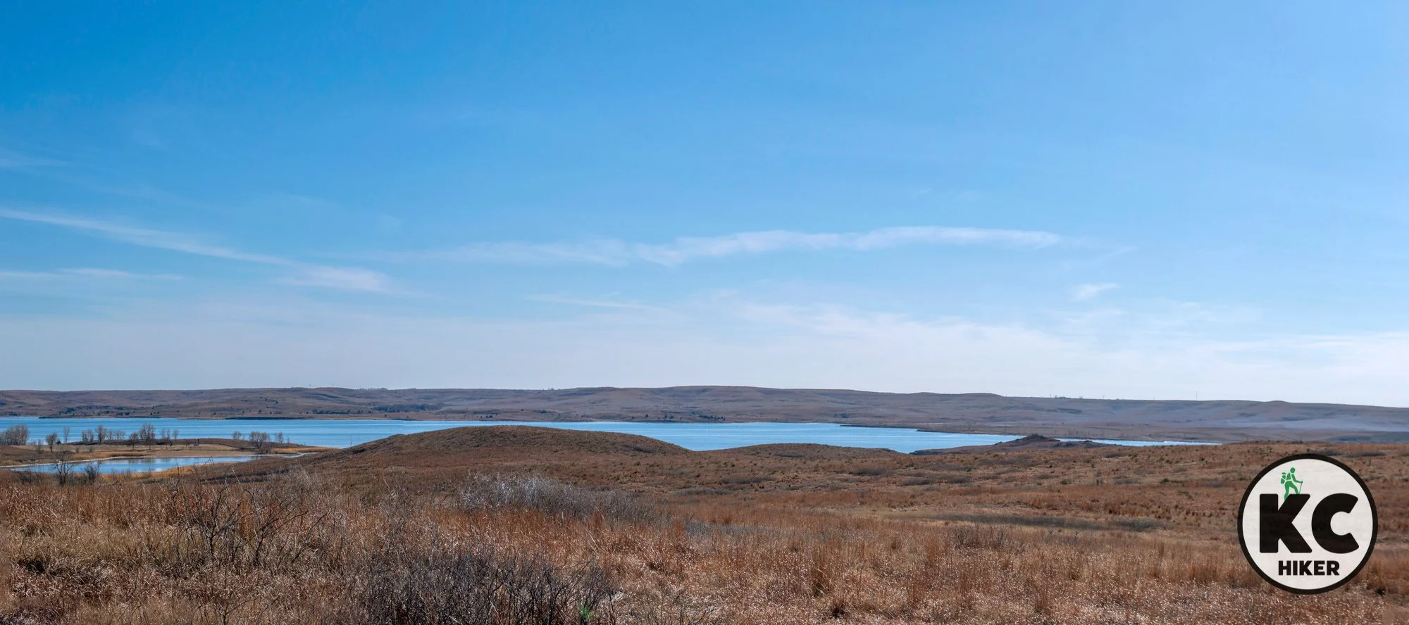
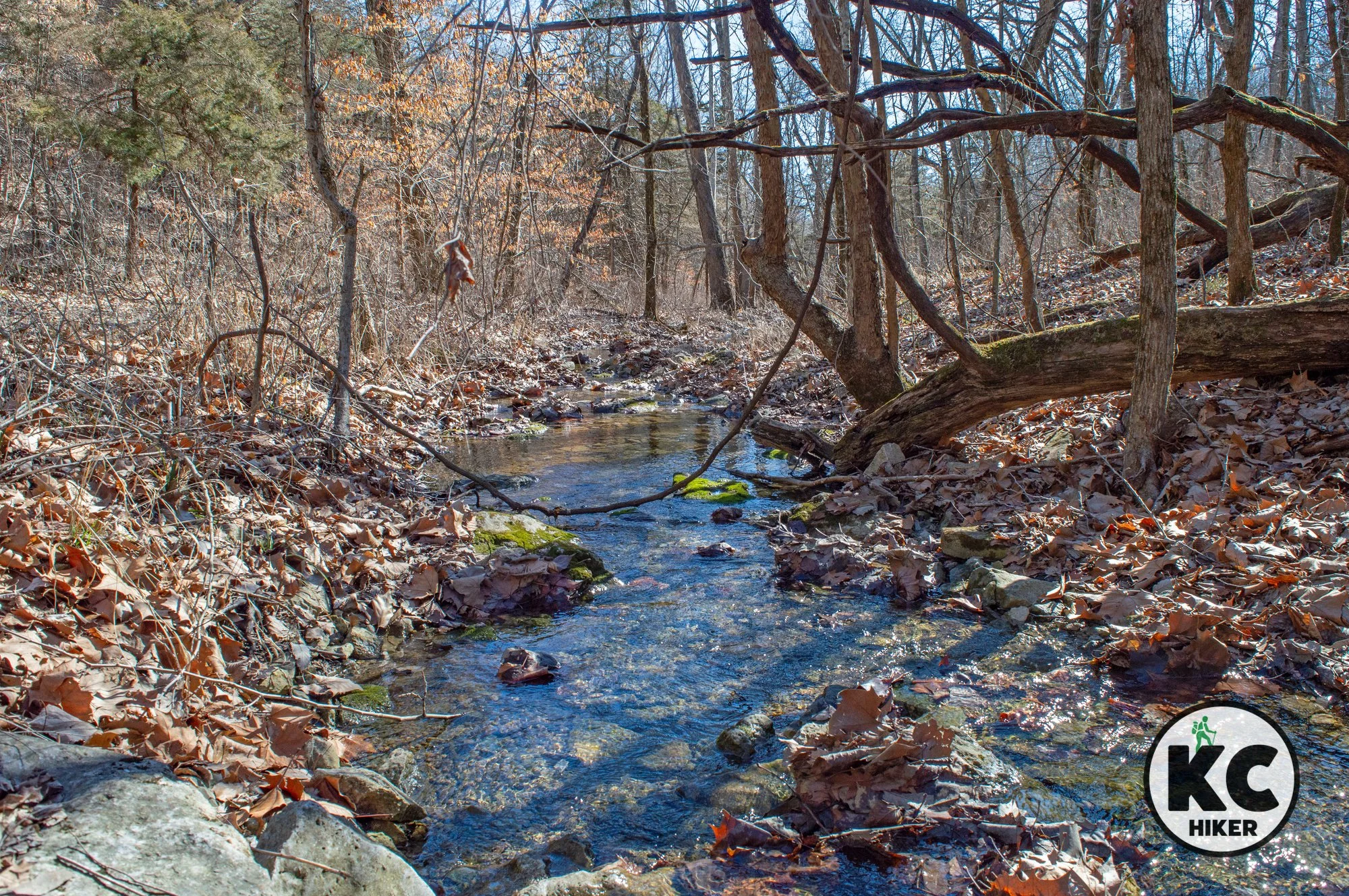
St. Philippine Duchesne: Unexpected beauty in eastern Kansas
St. Philippine Duchesne Memorial is an unexpectedly scenic and rugged park that takes some work to reach. It’s an eclectic blend of nature, history and spirituality in a remote corner of eastern Kansas.
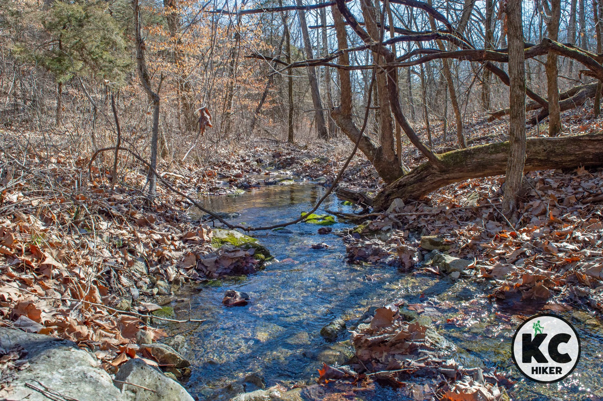
St. Phillipine Duchesne Memorial Park Nature Trail
It’s an eclectic blend of nature, history and spirituality in a remote corner of the state.
Trail St. Philippine Duchesne Memorial Park
Overview
St. Philippine Duchesne Memorial is an unexpectedly scenic and rugged park that takes some work to reach. It’s an eclectic blend of nature, history and spirituality in a remote corner of eastern Kansas.
In 1841, St. Philippine, the park’s namesake, led Catholic sisters from France’s Society of the Sacred Heart here to establish a school for Potawatomi girls. Their work was bittersweet. The Native Americans had recently arrived at what was called Sugar Creek Mission due to a forced relocation ordered by the U.S. government. Their suffering, and the service of St. Philippine, are recognized and honored at the park. The Potawatomi named her “Woman Who Prays Always.” She was canonized in 1988.
The historical and reflective nature of the park is integrated with a well-preserved natural area in the The Osage Cuestas region of eastern Kansas. The Cuestas (hills or cliffs) interrupt the plains, revealing valleys, limestone-capped hills, clear streams and cedar forests. A nature trail winds through all of these environments.
In addition, the park includes:
A picnic area
Shrines, artwork and educational markers
An outdoor walk of the 14 Stations of the Cross, with original granite artwork
A memorial to the Potawatomi who died at the location.
Drive Time It’s about 75 minutes from Downtown Kansas City.
Length About two miles of trails loop through the woods and along the stream and hillsides.
Address and location
You’ll reach the park via one or two gravel roads, depending on which way you approach. It’s impossible to miss:
St. Philippine Duchesne Memorial Park, 8499 W. 1525 Road, Centerville, KS 66014Conditions These are natural surface trails that will be muddy after a rain or thaw. They are well maintained. On occasion, directional signs are missing or weathered. However, the park is small enough that it’s not possible to get truly lost. In tick season, wear repellent.
Kid friendly? Kids who can walk will enjoy this trail. It’s not stroller-friendly. There are creeks to play in and rocks to scramble over.
How busy? This is a lightly-trafficked trail.
Pets Yes, on a leash, unless stated otherwise.
Restrooms are available at the main parking area.



Iliff Commons preserves native prairie near Topeka
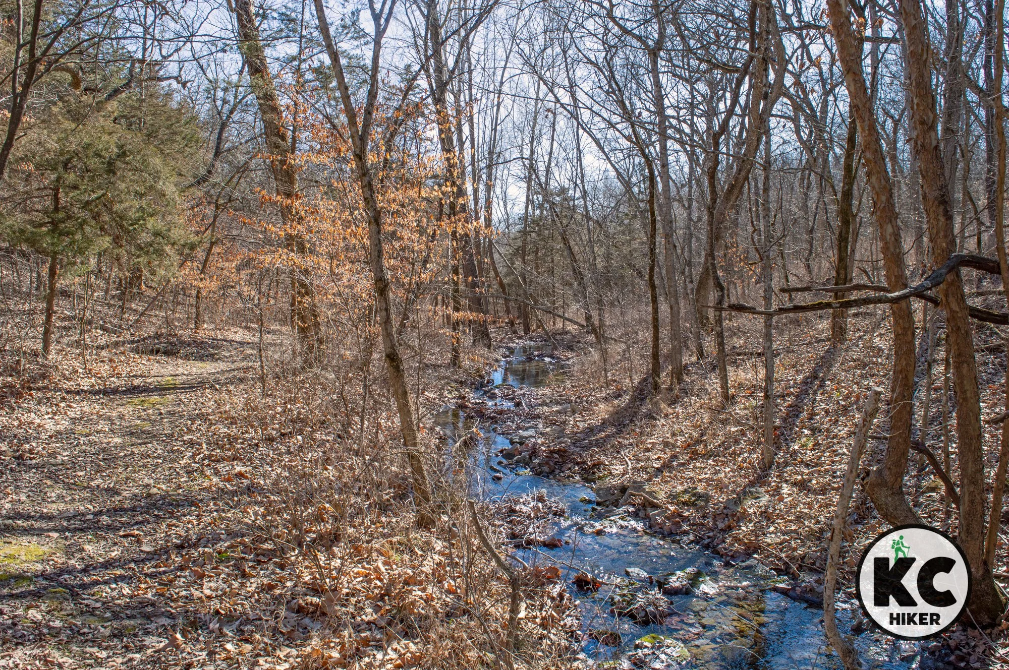
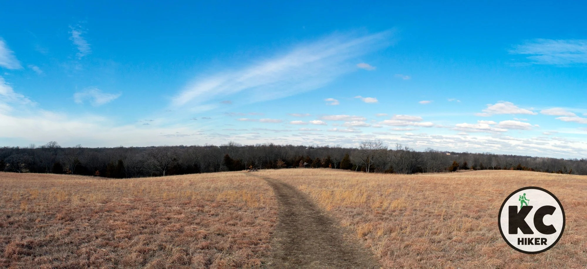
Iliff Commons, in the Flint Hills, is a private park opened to the public northeast of Topeka, Kan. The Iliff family makes the 80 acres available dawn to dusk, 365 days a year. Owners are gradually returning the property to its native tallgrass prairie state. It’s open to walking, running, cross-country skiing, and mountain biking.

Iliff Commons and Trail, Topeka, Kansas
This private prairie park is open to the public.
Trail Iliff Commons
Overview
Iliff Commons, in the Flint Hills, is a private park opened to the public northeast of Topeka, Kan. The Iliff family makes the 80 acres available dawn to dusk, 365 days a year. Owners are gradually returning the property to its native tallgrass prairie state. It’s open to walking, running, cross-country skiing, and mountain biking. The hilly terrain is part forest, part prairie. The area rises about 150 feet above the Kaw River Valley and the Topeka skyline is visible in the distance. This remote location includes deer, wild turkey, fox, bobcat, and others. You may also see red-tailed hawks and bald eagles.
Drive Time It’s about one hour from Downtown Kansas City.
Length The outer loop of the trail is about 1.5 miles long. However, there are numerous spurs and side trails that can expand the length of your walk.
Address and location
The area is located on a gravel road at NE 31st St, Topeka, KS 66617. A gravel parking lot is available.Conditions This is a natural surface trail, but it’s well maintained. In wet or thawing weather, it will be muddy and slippery. We include a map below and you can also find it on the AllTrails app. However, the park is not huge and it’s unlikely you’ll get lost.
Kid friendly? Kids who can walk will enjoy this trail. It’s not stroller-friendly. There are a few attractions for children, including a log cabin, treehouse and swing. In addition, unique folk art objects are located throughout the park on the trail.
How busy? This is a moderately-trafficked trail.
Pets Yes, on a leash, unless stated otherwise.
Restrooms are not available.
Official website Iliff Commons
Topeka-area hiking destinations


