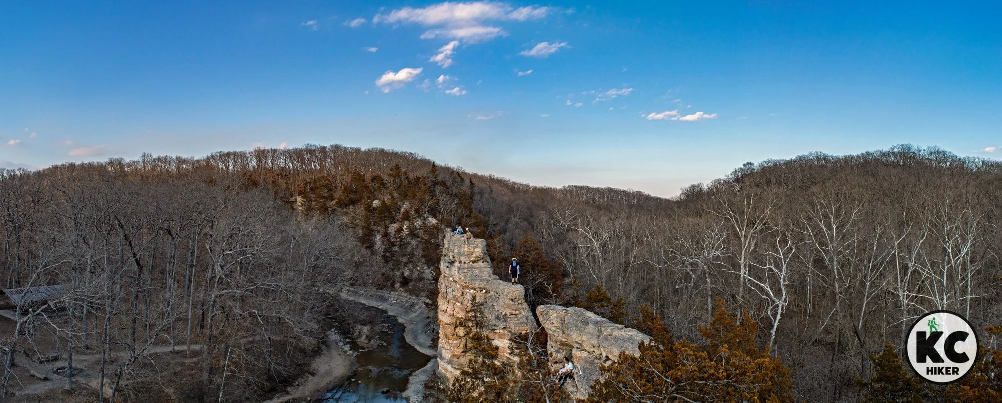
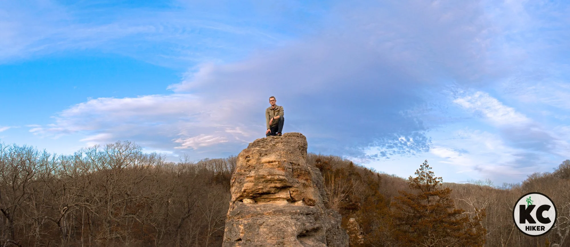
Towering cliffs and serenity: KATY Trail at Hart Creek Conservation Area
Hart Conservation Area, along the KATY Trail in Boone County, Mo., is scenic and rugged hike that you’ll likely have to yourself. Beginning at the small, riverside town of Hartsburg, you can walk a loop down the KATY, rise into the hills at the conservation area, then return to the village.
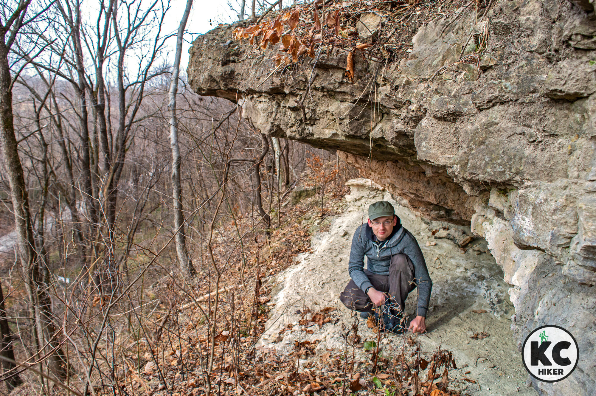
Hart Conservation Area and the KATY Trail, Hartsburg, Mo., Boone County
A ridgetop trail traverses mid-Missouri timber before intersecting with the KATY Trail.
Trail Hart Creek Conservation Trail and the KATY Trail.
Overview
Hart Creek Conservation Area, between Jefferson City and Columbia, Mo., includes about 650 acres of upland timber, ridges and Missouri River bluffs. A natural surface trail that’s about 1.5 miles long begins at the conservation area parking lot near the small town of Hartsburg, Mo. It leads up a ridge, through forest and provides a detour to an overlook of the Missouri River Valley. The trail continues downward and connects with the KATY Trail. The KATY Trail runs along the base of spectacular river bluffs that are part of the conservation area. Follow the KATY south and you’ll enter the town of Hartsburg, where you can complete a loop by returning to the Hart Creek trail head.
Length The Department of Conservation does not provide mileage for the trail, but it’s 1.5-2 miles. However, it is a rigorous hike, so the distance is further than it sounds. If you continue south on the KATY Trail to Hartsburg, the loop is between 3-4 miles.
Address and location Hart Creek Conservation Area is near the small town of Hartsburg and is accessed via a gravel road. The parking area and trail head is at: 20519-20725 S. Hart Creek Rd, Hartsburg, Mo., 65039.
Conditions The Hart Creek Conservation Area trail is a natural surface route that is easy to follow. There are significant elevation changes as hikers walk up the hill to the top of the ridge and back down. The KATY Trail has a pea gravel surface and is flat.
Kid friendly? The Hart Creek trail doesn’t accommodate strollers, so children will need to walk. The trail is strenuous. The KATY Trail walk is flat and relatively easy.
How busy? This trail is lightly trafficked. However, it is a conservation area so be mindful of hunting seasons.
Pets Yes, on a leash (unless otherwise designated).
Bikes In the conservation area, bicycling is allowed on the designated hiking and biking trail. Bikes are always permitted on the KATY Trail.
Restrooms There are restrooms at the McBain and Hartsburg trailheads of the KATY Trail, but none in Hart Creek Conservation Area.
Official websites
Other hiking opportunities near Columbia, Mo.


Eagle Bluffs Conservation Area soars above the KATY Trail
Eagle Bluffs Conservation Area is a 4,000-acre wetland in the Missouri River Valley near Columbia, Mo. The refuge is capped by 200-foot bluffs that offer a sweeping view of the river, wildlife and distant hills.

Eagle Bluffs Conservation Area, near Columbia, Mo.
A 4,000-acre wildlife refuge is intersected by the KATY Trail amid 200-foot bluffs.
Trail Eagle Bluffs Overlook Trail and the KATY Trail at Eagle Bluffs Conservation Area, near Columbia, Mo.
Overview
Not far from I-70 is a 4,000-acre wetland area bordering the Missouri River. That’s not unusual. But the spectacular scenery sets this area apart. Eagle Bluffs Conservation Area is capped by 200-foot bluffs overlooking the river valley. You can access the overlook from a rural road near Columbia, Mo. It’s an easy one-mile walk to the overlook. From there, you can turn around and head back or head down the bluffs and jump on the KATY Trail, which runs immediately below the overlook. On the KATY Trail, a nearby highlight is Roche Percée Natural Arch, which is about a half-mile north. About two miles to the south is Boathenge, an Ozark-like replica of Stonehenge, but made of buried boats. Really. You are also free to explore the conservation area, which is a vibrant home for waterfowl (including Eagles) and other wildlife.An alternative way to access Eagle Bluffs Conservation area is to park at the McBain trailhead in Boone County and walk from there to the Eagle Bluffs overlook. That way you can enjoy spectacular bluff scenery all the way to the overlook.
Length
From the parking lot on S. Warren School Road, the Eagle Bluffs Overlook Trail is one mile out and back (a total of two miles).
From the McBain KATY Trail head, it’s about 3 miles to Eagle Bluffs Overlook.
Address and location The Eagle Bluffs Overlook Trail head is southwest of Columbia, Mo, on S. Warren School Road. The direct Google Maps link is here and also posted below. There are a few designated parking spaces and you can also park on the shoulder of Warren School Road.
You can also begin at the McBain KATY Trail head and walk east about three miles to the overlook. The trail head, and parking, are at 7300 West Route K, Columbia, Mo.
Conditions The Eagle Bluffs Overlook Trail is a mowed and dirt path that is level and easy to find and follow. The KATY Trail has a pea gravel surface.
Kid friendly? The Eagle Bluffs Overlook Trail doesn’t accommodate strollers, so children will need to walk. The overlook is fenced in, but parents will want to be mindful of children and the steep drop. The optional climb up and down from the overlook to the KATY Trail is challenging. The KATY Trail is level and easy, but parents need to be mindful of bike traffic.
How busy? This trail is near Columbia and can be heavily trafficked on ideal days.
Pets Yes, on a leash (unless otherwise designated).
Bikes Permitted on the KATY Trail.
Restrooms There is a primitive toilet near the main parking area at river level (visit the Conservation site link below). There are no restrooms on the bluff overlook trail.
Other hiking opportunities near Columbia, Mo.


Mark Twain: Ozark forest north of the Missouri River
About 16,000 acres of Mark Twain National Forest sprawl across Boone and Callaway counties within a few miles of I-70.

Mark Twain National Forest, Boone County, Mo., south of Columbia.
About 16,000 acres sprawl across Boone and Callaway counties within a few miles of I-70.
Trail Cedar Creek Trail System, Mark Twain National Forest, Cedar Creek Ranger District
Overview
Who knew there was a 36-mile trail system within a national forest only two hours from Kansas City? We did. And it’s been a frequent destination. Mark Twain is Missouri’s only National Forest. The vast majority of its 1.5 million acres is in 27 Southern Missouri counties – the heart of the Ozarks. While that area is wild and beautiful, it’s not easy to get there from here (Kansas City). That’s part of the appeal of the 16,000-acre Cedar Creek Ranger District, which lies entirely north of the Missouri River and is fenced in by Columbia, Jefferson City and Fulton. To be clear, this part of the forest does not rival its Ozark “cousins” in terms of scenic beauty and isolation. But you will find crystal clear streams, rocky bluffs and upland and lowland forest. Stunning rock formations emerge from dark, forested ravines. And there’s a continual reminder of the many farmers who threw in the towel during the dustbowl of the 1930s. Remnants of homes, foundations and logging roads are still visible. There are also large sections of mostly treeless, rolling prairie, with some cattle grazing on leased forest land. Primitive camping is allowed in the forest, but there are also organized campsites.Recommended route Since the area is so large, we recommend a hybrid hike that combines the Smith Creek Loop, Cedar Creek Trail and two county roads. The trip will generally take about three hours. If you stop to enjoy nature, it could take all day. Download our recommended route map here. If you have more time, the Moon Loop is also recommended.
Length The Cedar Creek Trail System includes 36 miles of hiking, with part of it as county roads.
Address and location There are numerous access points in Boone and Callaway counties (see the map below).
Conditions These trails are dirt paths that sometimes merge into gravel roads, then return to rugged pathways. It is strongly advised that hikers take a minimum of a map and compass. These trails, at best, are poorly marked. Your navigation can be greatly enhanced by a USGS topographical map, available from the U.S. Forest Service, or a quality navigation app. Or all the above. After a significant rain, these trails can be nearly impassable. This is due to years of erosion and significant horse traffic. This trail is best enjoyed before the onset of poison ivy, poison oak and biting insects, because it can often be a narrow, single-track path. None of this is intended to discourage the enjoyment of this area. But it’s best to go with eyes wide open.
Kid friendly? The trails are rugged and pass atop high cliffs, so parents are advised to keep small children close at hand.
How busy? Some sections rarely receive visitors, but the Smith Creek Loop and Pine Ridge campground areas are popular.
Pets Yes, on a leash (unless otherwise designated).
Bikes Unless otherwise posted, trails are open to mountain bikes.
Restrooms Primitive restrooms are available at the Dry Fork and Pine Ridge trailheads.
Other hiking opportunities near Columbia, Mo.


Hike river bluffs, forest and shoreline at Kaw River State Park
Kaw River State Park and adjacent MacLennan Park encompass about 400 acres and 11 miles of trails in river bluff and lowlands environments. The sandy riverfront itself is also ripe for exploration with its wide, sprawling channel and numerous sandbars. It’s a unique hiking experience in Topeka, Kansas.

Kaw River State Park and trail system, Topeka, Kansas.
Kaw River State Park (and adjacent MacLennan Park) make Topeka a Midwest hiking destination.
Trail Kaw River State Park and MacLennan Park, Topeka, Kansas
Overview
Perhaps Kansas’ best-known and beloved geographic feature is the Flint Hills. But before you get there, there’s a gem in Topeka worth a day trip: Kaw River State Park. This park, which connects to the local MacLennan Park, provides a classic Midwest river bluff and lowlands environment. You can hike 200 vertical feet above the river into upland timber, with switchbacks guiding you through the elevation. But you can also descend to the shore and the river itself. Depending on the water levels, you may be met with a sprawling, sandy beach where you can watch the lazy Kaw flow by. If water levels are high, you won’t be able to get quite as close but can enjoy the waterfront experience. Be on the lookout for waterfowl and other wildlife. Kaw River State Park includes a boat ramp for motorized vessels as well as kayaks and canoes. The state park contains 76 acres, but when it’s added to MacLennan Park, there are more than 300 acres to explore.
Length There are 11 miles of gravel and dirt trails.
Address and location Kaw River State Park, 300 Southwest Wanamaker Road, Topeka, Kan., 66606
Conditions Trails are dirt or gravel based and are of moderate difficulty with some steep elevation changes.
Kid friendly? The trails are not stroller friendly, so children will need to walk or be carried. There are few hazards, however. Children playing near the river will need to observe water safety.
How busy? This location moderately trafficked.
Pets Yes, on a leash (unless otherwise designated).
Bikes Unless otherwise posted, trails are open to mountain bikes.
Restrooms None.
Other Topeka-area hiking destinations


Reach for the sky at The Pinnacles near Columbia, Mo.
Pinnacles Youth Park, near Columbia, Mo., showcases a rare instance of rock outcroppings in Northern Missouri. A trail takes visitors to the top of the spires and around the park. This small area can also be explored off-trail.

Pinnacles Youth Park centers around a ridge that looks like giant shark teeth jutting upward.
Trail Pinnacles Youth Park, near Columbia, Mo.
Overview
North of Columbia, Mo., lies a remarkable “toothy” ridge carved from limestone known as The Pinnacles. This private park, open to the public, draws visitors year round. They come to see, and climb on, the limestone spires between Silver Fork and Kelley Branch streams. While Missouri’s Ozarks are laden with rock formations, it’s rare for Northern Missouri. This 77-acre park can be explored from rock wall to rock wall. In addition to the towering rocks are crystal clear streams, woods and a mammoth rock overhang.
Length Although the official trail is only one mile long, hikers and nature lovers can spend hours here.
Address and location 850 E. Pinnacles Road, Sturgeon, Mo., 65284
Conditions Dirt and rock pathways are clearly marked and the park is relatively small. Walkers proceeding to explore The Pinnacles spires will encounter steep elevation gains and cliffs.
Kid friendly? The Pinnacles has plenty of areas that children can enjoy. The rock spires, however, are 80-feet tall and have no guard rails. Falling is a real danger for children and anyone who is not careful. Water safety is also an issue when the creeks are full and running swiftly.
How busy? This location is heavily trafficked. To avoid crowds, go in the off-season, early in the morning or on a weekday. Since this spot is near the University of Missouri-Columbia, it’s frequented by students.
Pets Yes, on a leash (unless otherwise designated).
Bikes Prohibited. See park rules here.
Restrooms Yes. Vault toilets.
Official Website also see the Missouri Department of Conservation page
Other hiking opportunities near Columbia, Mo.