Lake Jacomo: The Tcha-To-Ga Trail is rustic and rugged

Lake Jacomo Trail System, Tcha-To-Ga Trail, Lee’s Summit, Mo., Jackson County.
Winter is the best time to walk this often overgrown trail.
Tcha-To-Ga Trail
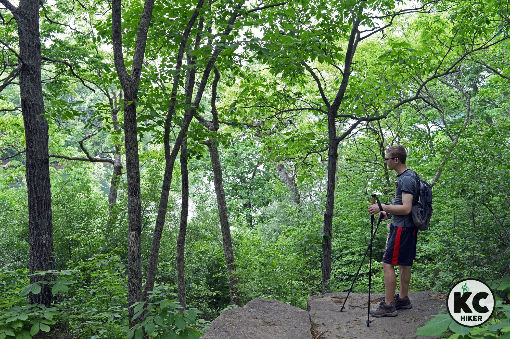
This trail, with a name apparently translated “mad buffalo,” begins at a pond near the entrance to Missouri Town 1855. It transverses woods, streams and provides panoramic views of Lake Jacomo. It also features a glade with (in season) wildflowers and prickly pear cactus. You’ll be glad to know there are no mad buffalo roaming these woods.
Length Strictly speaking, this is a 1.2-mile loop. However, it connects with other area trails that are unmarked and do not appear on the trail map. If you aren't careful, you can stretch a one-mile loop into several miles and not be quite sure where you are. The path is easy to see and follow, but there are very few signs. Bring a compass and/or phone navigation system (and some water), just in case.
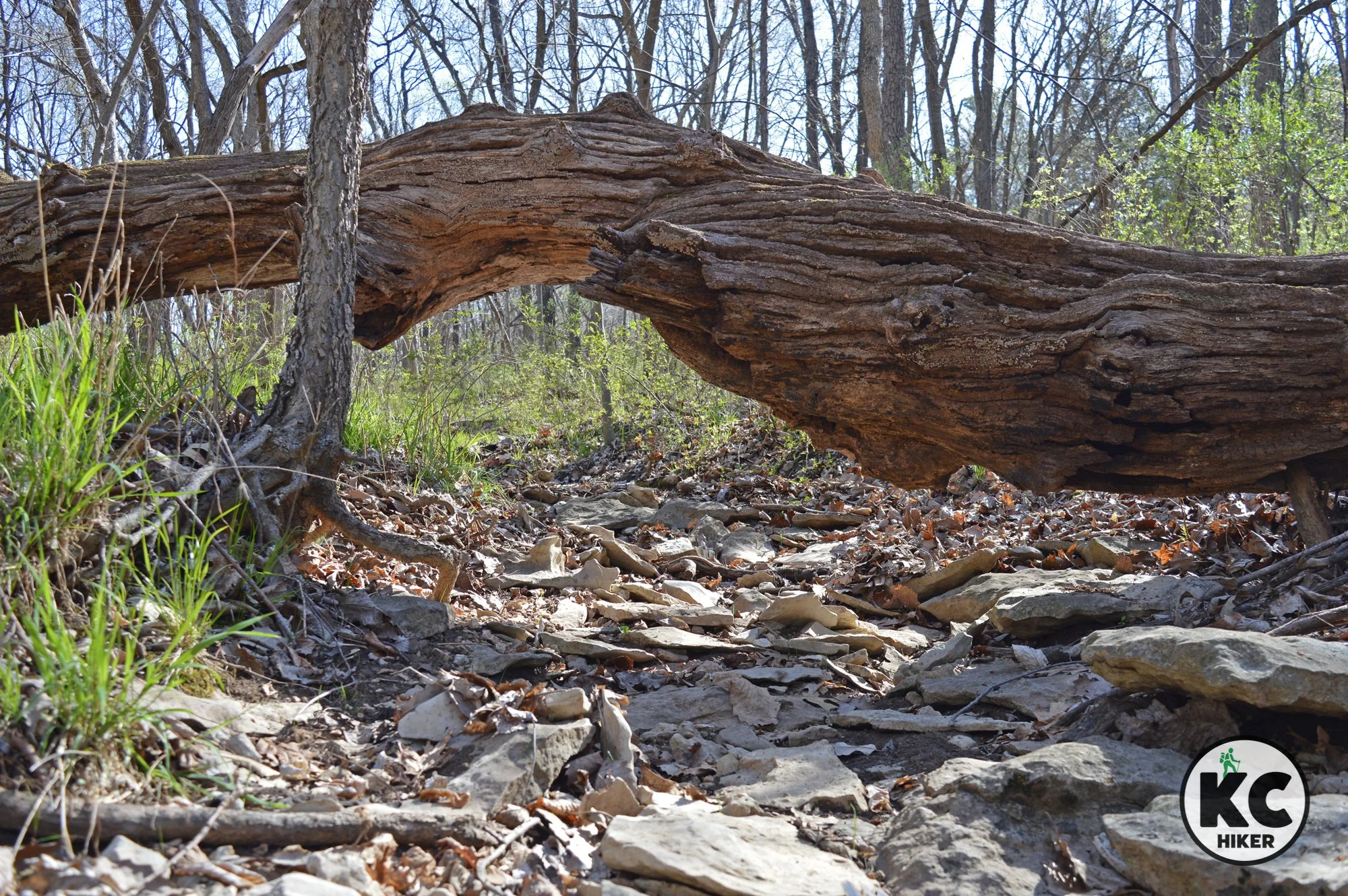
Conditions This is a dirt path of moderate difficulty. Hazards include exposed roots and mud after a rain. In summer, poison ivy and bugs will be a challenge. Trail maintenance seems to have been neglected for quite sometime, meaning overgrowth is an obstacle in warm months. For this reason, winter is a preferable season to walk this trail.
Kid Friendly? Although it’s not equipped for strollers, this is a relatively easy trail to walk.
Address Located on East Park Road, the trail head is near the Native Hooved Animal Enclosure at Lake Jacomo. It’s also near 1855 Missouri Town. There are a few parking spaces immediately in front of the trail head sign, which sits in front of a pond. Park at the Animal Enclosure across the street if those spaces are taken.
Pets Yes, on a leash. Read the regulations here.
Bikes Suitable for mountain bikes.
Restrooms are not available.