Get Lost in the Loess Hills: A Tour Guide for Kansas Citians

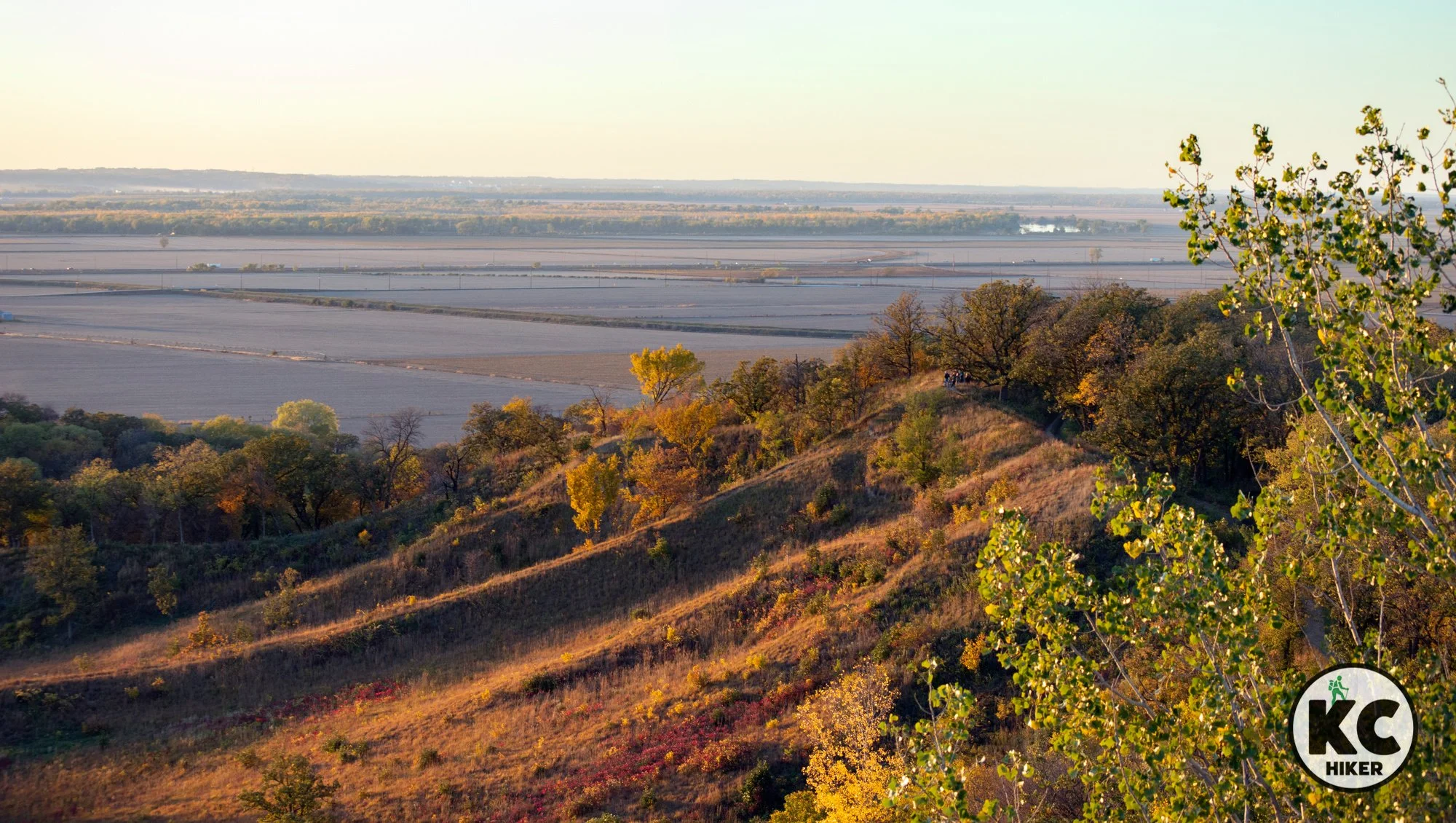
Loess Bluffs National Wildlife Area, north of St. Joseph, Mo.
Thousands of years of wind-blown silt have resulted in a range of hills several hundred miles long. It’s lonely, nearby and stunning.
By Roy Harryman
Publisher
When you think of elevation in Missouri and Kansas, a few regions come to mind. For Missouri, it’s the Ozarks. Kansas has several belts of rugged hills, most notably the Flint Hills and Smoky Hills.
But there’s a scenic, elevated region that many are unfamiliar with: The Loess Hills of northwest Missouri, Kansas, Iowa and Nebraska.
What are the Loess Hills?
Loess (rhymes with bus) is a German word meaning wind-blown sediment. The Loess Hills are a belt that extends from north of St. Joseph, Mo., through Iowa to South Dakota. There is also a narrow belt in northeast Kansas extending into Nebraska.

Before European settlement, these hills were predominantly treeless. Fire suppression, however, has allowed trees to thrive in much of the area. As a result, this region is rich in fall colors shimmering across valleys and rolling terrain.
What makes these hills unusual is that they shoot straight up from flat river bottomland and rise up to 300 feet from the valley floor. Hiking directly up one of these ridges is sometimes impossible. Natural terracing and erosion also give them a wrinkled appearance.
This region is a less-traveled, unique slice of Americana, with barns and farmsteads located beneath massive forested hills following the Missouri River.
There are numerous destinations in the Loess Hills region, so we’ll begin with the locations closest to Kansas City and head north from there.

Loess Bluffs National Wildlife Refuge, Missouri
First up is Loess Bluffs National Wildlife Refuge (formerly known as Squaw Creek). For Missourians and Kansas, it’s perhaps the most well-known location on this list. It’s renowned as a destination to view migrating birds. But many people somehow miss the trails exploring the lofty bluffs behind the visitors’ center. About four miles of natural surface trails take hikers to the summit and ridgeline, providing distant views of the area.

Indian Cave State Park, Nebraska
To reach Nebraska’s Indian Cave State Park, you get off I-29 at Rock Port, Mo., and head west into Nebraska. The stop is worth it. Indian Cave is one of the premiere hiking destinations in the Midwest. More than 20 miles of trails, including primitive campsites, await hikers. Trails are challenging, but views are rewarding. Along with traveling ridgetops, hikers at Indian Cave can “bottom out” and relax right next to the Missouri River.

Star School Hill Prairie Conservation Area, Missouri
Closer to Iowa is a destination off the beaten path: Star School Hill Prairie Conservation Area. It provides sweeping views of three states and the Missouri River Valley. Trails exist but are rustic. However, it’s easy to find your way around this relatively small area. Heads up: This hike has a seriously steep grade. It’s worth the trip to the top, but you’ll feel the burn. If you are headed to loess hills in Iowa or Nebraska, this is a good waypoint. In bug season, repellent is a must.

Waubonsie State Park, Iowa
Next stop, Iowa. A few miles across the Missouri border, Waubonsie State Park provides spectacular views of the Missouri River Valley. It also provides challenging natural surface trails.
Hitchcock Nature Center, Crescent, Iowa
The Loess Hills are dynamic as you continue north toward Omaha/Council Bluffs. Hitchcock Nature Center is one of their most stunning expressions. Experience 10 miles of trails on more than 1,000 acres of forest and prairie. The park includes a 45-foot-tall hawk watching tower, visitors center and primitive camping areas.

Brent’s Trail, Harrison County, Iowa
Brent’s Trail is one of the premiere treks in the Midwest and offers 12 miles of rugged, ridgetop wonder. It doesn’t merely stick to the summits, however. It winds into valleys and up and down steep grades, frequently rewarding travelers with stunning views.
Preparation Canyon State Park, Little Sioux, Iowa
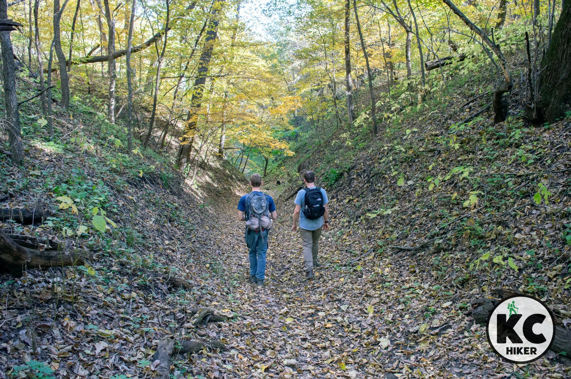
Canyons in Iowa? Perhaps if they’re defined loosely. But there are definitely steep valleys and rewarding vistas in this region of the state’s Loess Hills. Preparation Canyon State Park comprises 344 acres of forested hills and prairie ridges in a remote region of western Iowa. The name stems from the now lost town of Preparation, an 1850s Mormon settlement.

Four State Lookout, White Cloud, Kansas
Finally, to be a completist, we’ll include the Four State Lookout in White Cloud, Kansas. Although northeast Kansas is a unique geographic region with massive river bluffs, there is almost no public property to allow exploration. However, you can still get a bird’s eye view from the lookout in this somewhat desolate village. The gravel road to the top is extremely rough. Don’t attempt it in muddy or icy weather. Walking may be a better option unless you have an appropriate vehicle. From the top, there is a modest viewing platform that allows you see Iowa, Missouri, Nebraska (and of course Kansas) on a clear day. It demonstrates that Kansas is part of the Loess Hills region, even though there are few hiking opportunities in this part of the state.
And that ain’t all!
This is not in any way a comprehensive travel guide to the Loess Hills, which stretch from near St. Joseph, Mo., to South Dakota. But for Kansas Citians, these stops are likely more than anyone can absorb in one trip. Consider this a “greatest hits” tour. In a few hundred miles, you’ll encounter the quiet, lonely beauty of one of the Midwest’s lesser-known treasures.
“I’ve always been drawn to wilderness and how it corresponds to the wildness in us. The Loess Hills create such a unique cradle of biodiversity. To have these steep slopes and protected pockets where we find hundreds of prairie plants that used to be widely distributed across the Great Plains, that’s pretty inspirational.” – Kelly Madigan, Conservationist