Take cover on these made-in-the-shade hikes in KC
When temperatures heat up, outdoors enthusiasts must adapt and improvise.
By Roy Harryman
Publisher
Summer in Kansas City is glorious, with clouds marching across clear blue skies and green hues in all directions. But summer can also be miserable, with the sun’s rays and humidity frying us every time we step outside.
The extreme heat of the season puts nature enthusiasts in a bind. We want to enjoy the outdoors, but there’s a price to pay (though I think it’s usually worth it). I’ve written about ways to make the most of hiking in heat in this post. However, that article doesn’t give any tips on where to hike during the dog days of summer. So let me share a few of my favorite shady trails. These generally keep you clear of the sun while also avoiding tick-infested, swampy environments.
Northland
Clay County: Briarcliff Greenway, Kansas City
This paved trail is about one mile each way and is almost fully shaded. Several elevated boardwalks and wildflowers are highlights.

Platte County: Line Creek Streamway Trail, Kansas City and Riverside
Large portions (but not all) of this lengthy trail are shaded and follow a clear stream, which is home to several waterfalls.

Central
Jackson County: Lake Vista Trail, Blue Springs and Lee’s Summit
This mostly gravel trail is wide and winds around an eastern bay of Blue Springs Lake. There are a few exposed areas, but these can be avoided by choosing a different trailhead. If you want to complete the 5-mile loop, it will require walking across the completely exposed bridge on Woods Chapel Road (but this is optional).

Jackson County: Larry Mattonen Trail, Lee’s Summit, Mo.
There are many trails in the Lake Jacomo area, but the Larry Mattonen Trail is made of gravel and is a little wider than the single-track trails that dissect the deep forest nearby. That means you can spend more time enjoying the hike and less time swatting bugs and dodging poison ivy. Still, you’ll want to take seasonal precautions such as wearing repellent and bringing plenty of water.

South
Cass County: Omega Trail at Harrisonville City Park
The 2-mile, looping Omega Trail is entirely shaded, well marked and has a gravel and natural surface. Because it’s shaded and humid, it can be buggy. So spray up.

West
Little Mill Creek Streamway Trail
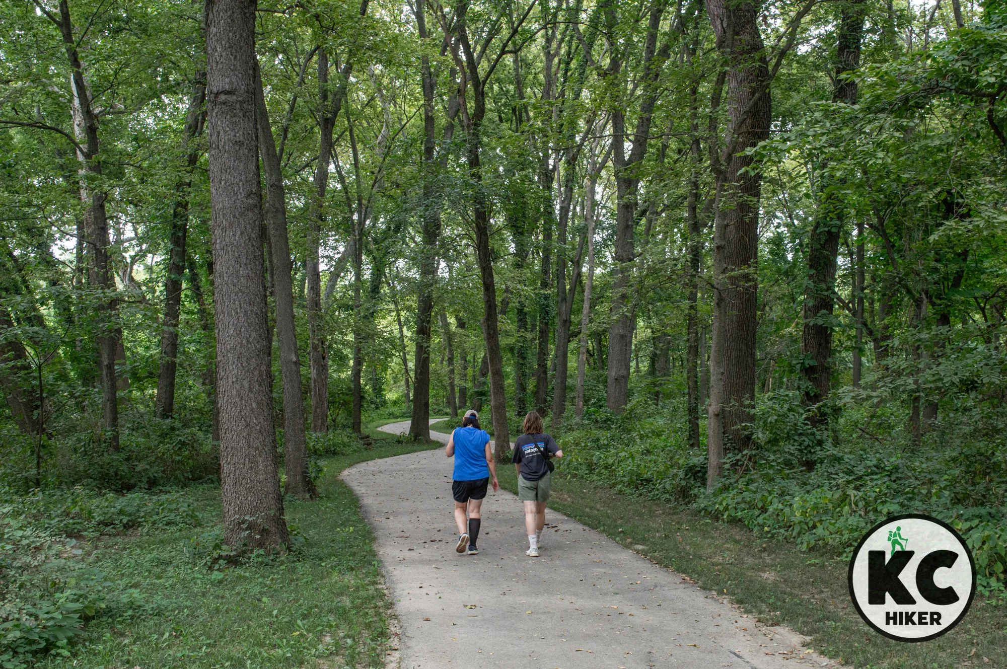
This three-mile out-and-back passes through six (six!) parks while sticking close to the stream that bears its name. Most of it is shrouded in a wooded canopy.

Kill Creek Streamway Trail, Northern Section
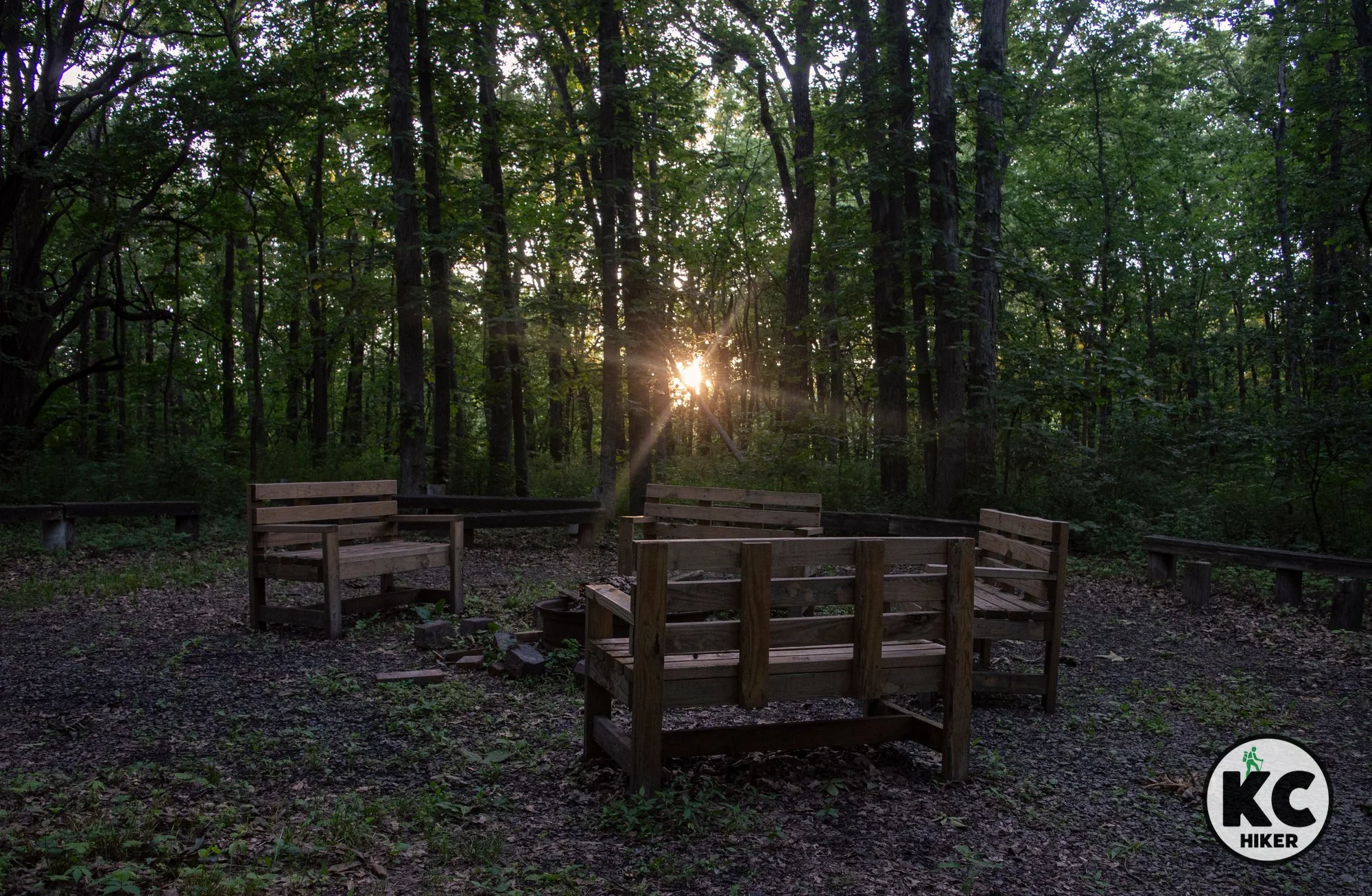
In Johnson County, there are several places named Kill Creek. There’s the creek, the park and the streamway trail. The Kill Creek Streamway Trail passes through the park, but is not synonymous with it. The streamway also has an isolated section that begins in DeSoto and heads south. That northern section (pictured here) weaves in and out of prairie and wooded groves, with several bridged creek crossings. Although some sections are susceptible to highway noise, the trail still retains a rural, natural feel.
Flint Hills Trail: Osawatomie
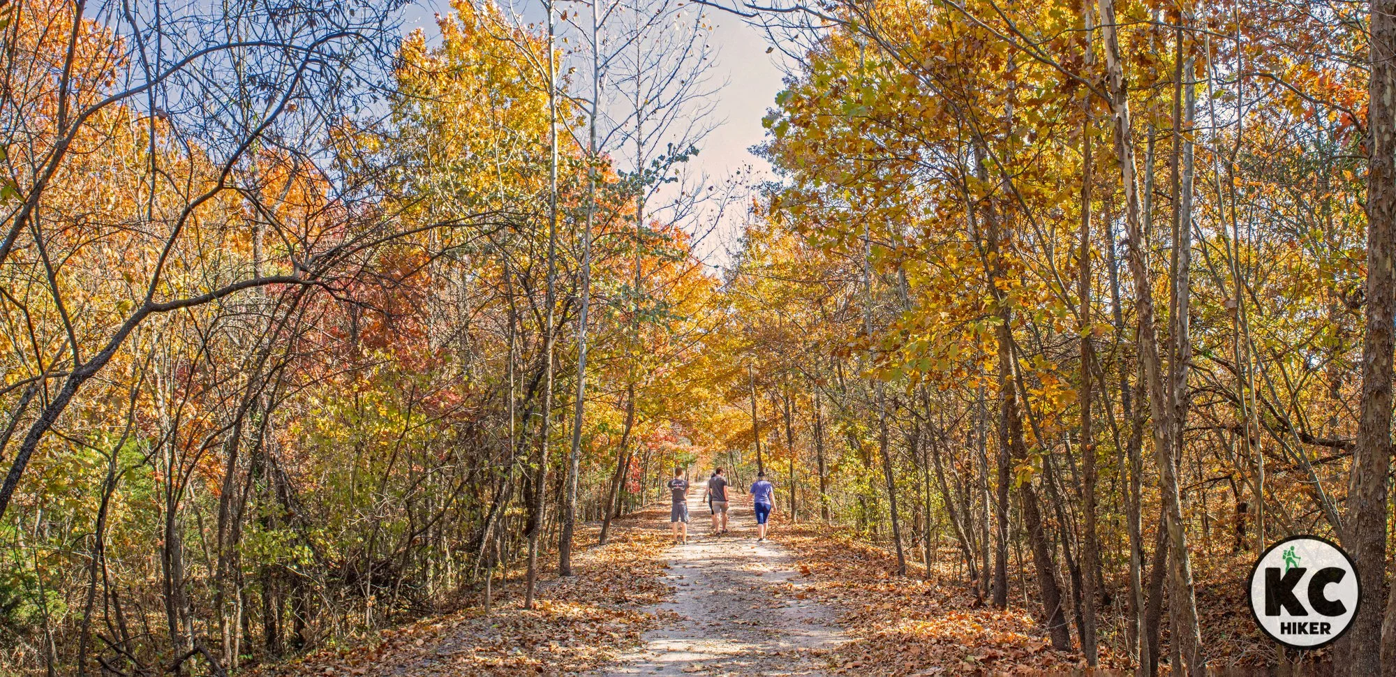
Up for an adventure? Bring plenty of water and head west to the 117-mile Flint Hills Trail. A uniquely scenic section is almost entirely shaded. Paralleling the Marais Des Cygnes River, it leads under towering, wooded bluffs. To get there, head west at the trailhead at 339th St. and Pressonville Road, Osawatomie. There is no parking lot, so just pull off to the side of the road.
I hope you find some of these options helpful. If you can recommend others, please let me know at hike@kchiker.com. Wherever you travel, stay hydrated and take care of yourself so you can live to hike another day.