
Loop a quiet lake on the Hawk Ridge trail in Raymore
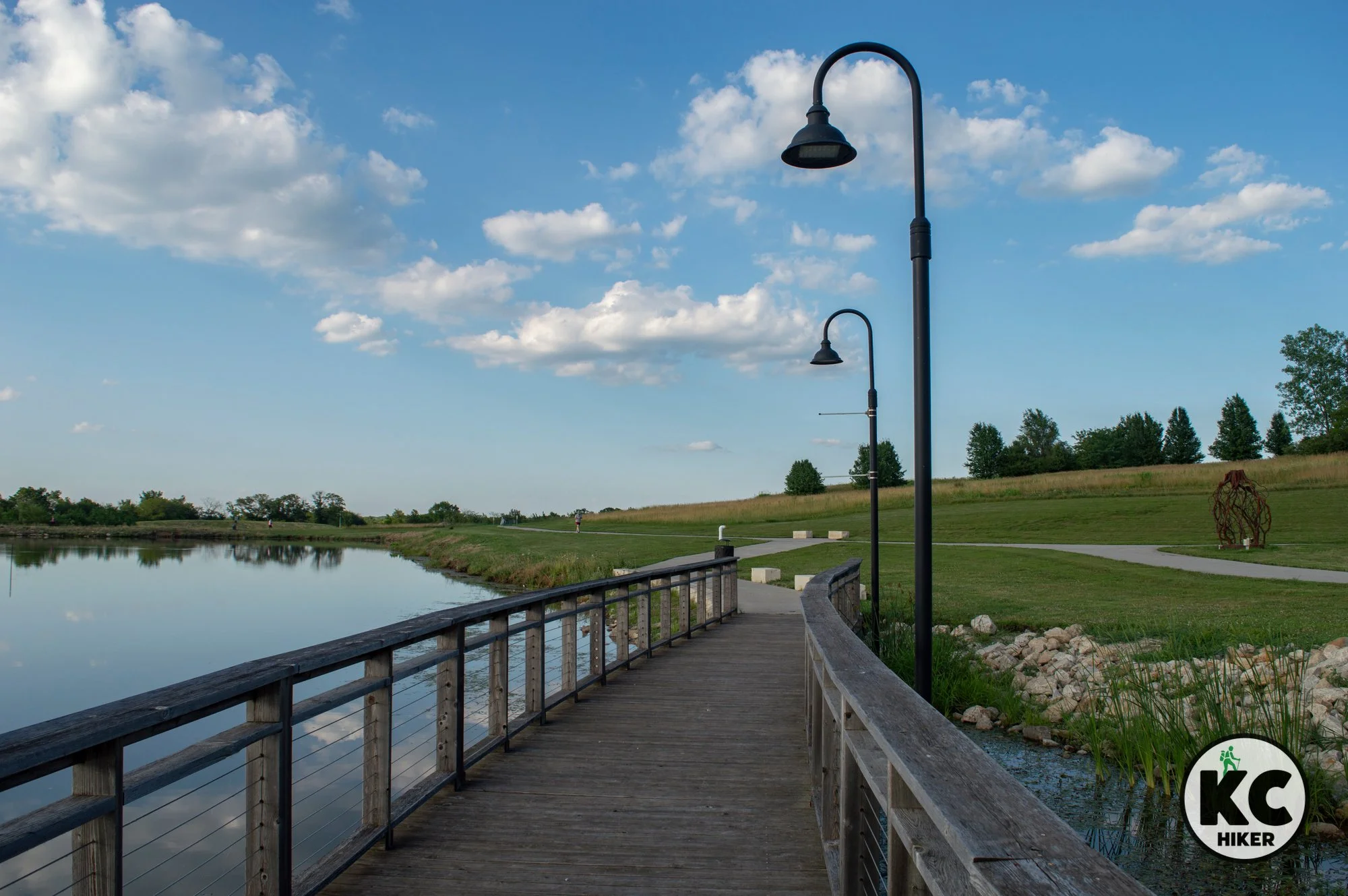
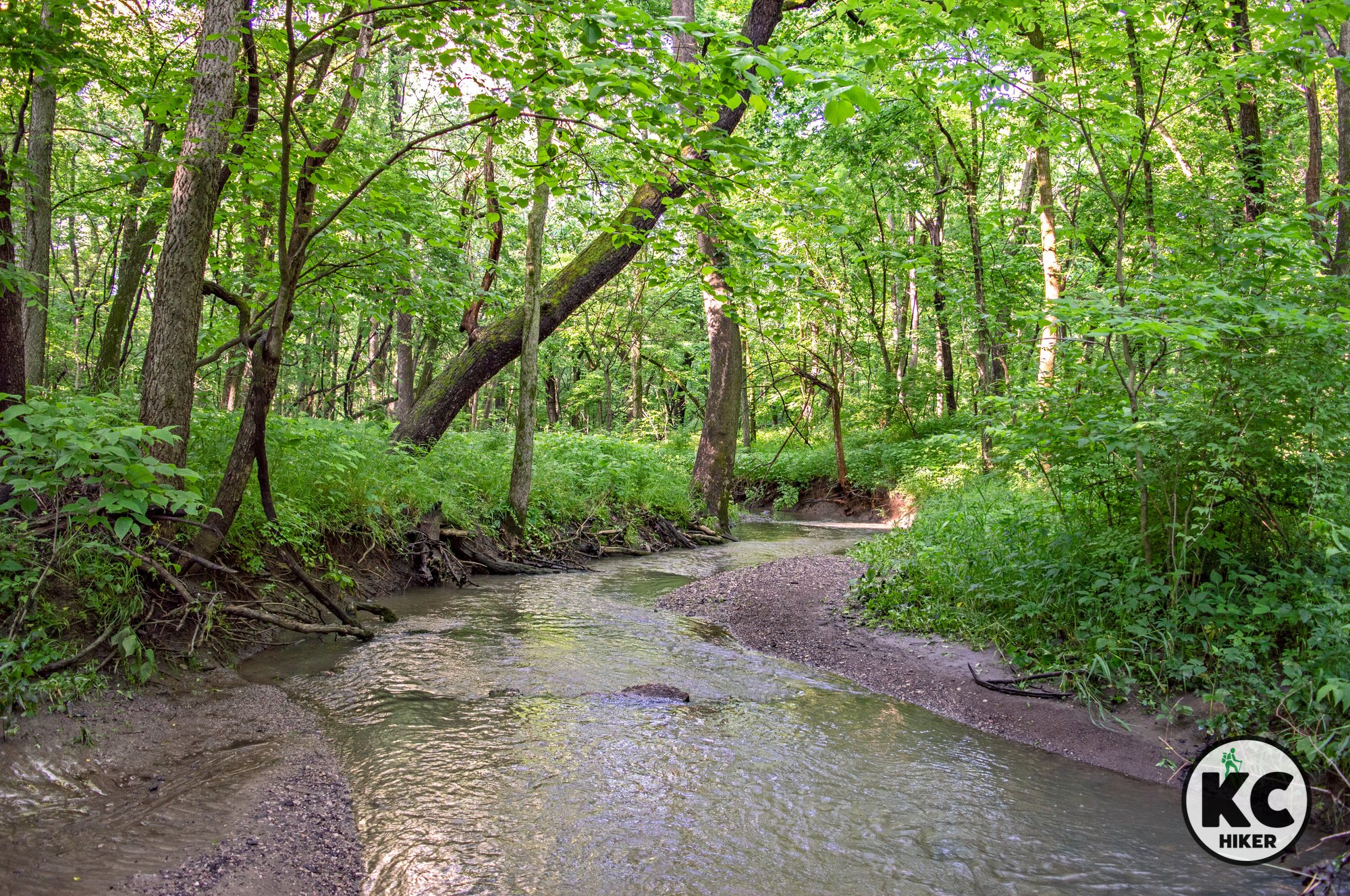
This quiet park, near the Creekmore subdivision of Raymore, Mo., offers a scenic one-mile loop around Johnston Lake. A westward extension leads to park’s soccer fields. In addition, separate mountain bike trails are adjacent to the paved walking path. The lake is open to fishing and includes a dock, amphitheater and bridges.

Hawk Ridge Park, Raymore, Missouri
A 79-acre park is home to a paved mile-loop in a secluded neighborhood.
Trail
Hawk Ridge Park, Raymore, Mo.Overview
This quiet park, near the Creekmore subdivision of Raymore, Mo., offers a scenic one-mile loop around Johnston Lake. A westward extension leads to park’s soccer fields. In addition, separate mountain bike trails are adjacent to the paved walking path. The lake is open to fishing and includes a dock, amphitheater and bridges. Most of the trail is unshaded, so consider weather and temperature when planning your trip.Length The total paved mileage is about 1 mile. Reverse your steps to get a longer walk or continue in surrounding neighborhoods.
Address and location
Hawk Ridge Park, 701 Johnston Pkwy, Raymore, Mo., 64083
Conditions This is a paved, accessible trail which is mostly flat.
Kid friendly? This is an easy walk for kids and parents pushing strollers (note that there is little shade). In addition, a large, accessible playground is next to the main parking lot.
How busy? This is a popular trail in the middle of a subdivision and can be busy on pleasant days.
Pets Yes, on a leash (unless otherwise designated).
Restrooms There is a shelter house with four ADA family restrooms in the north parking area; there are additional ADA restrooms at the park’s south entrance. Restrooms may be subject to winter closure.
Bikes Mountain bike trails are located adjacent to the paved trail.
Trails nearby Cleveland Lake Park, Belton, Mo.


Glimpse native prairie at Berrier Memorial area
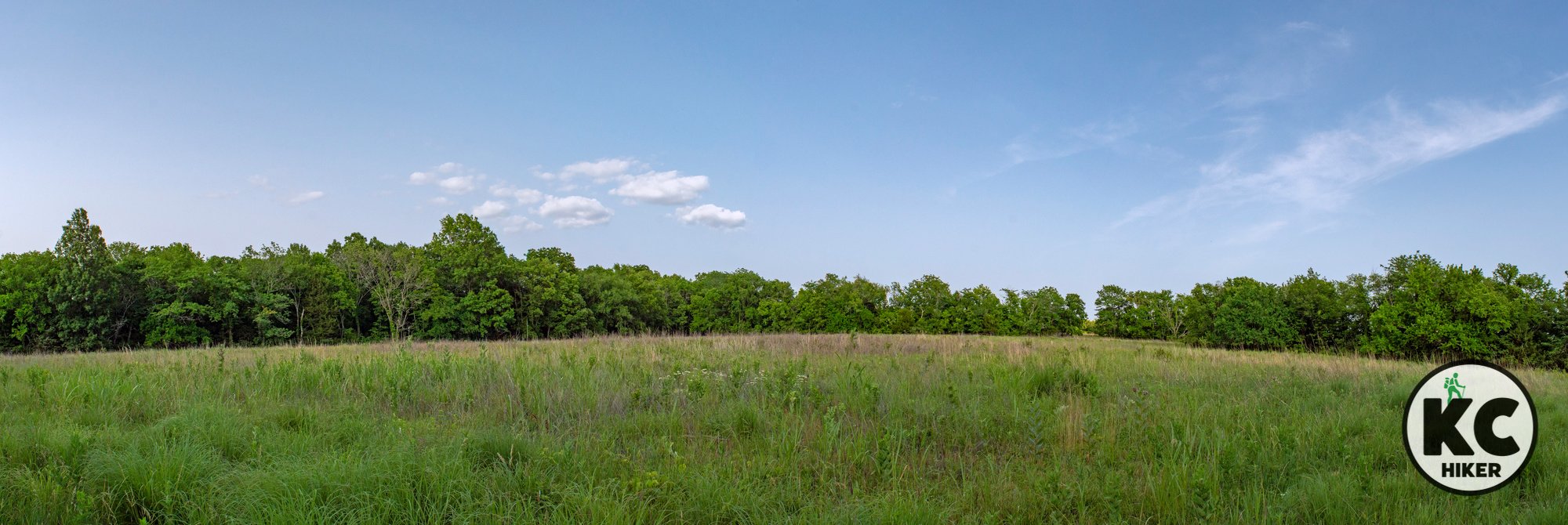
This 100-acre Missouri Conservation Area in rural Cass County preserves a tract of native prairie as well as surrounding forested areas. It’s a quiet and remote escape into nature. The closest community is Freeman, Mo. The best time to visit is after leaf off, when overgrowth, poison ivy and ticks are minimized.

Dr. Harry and Lina Berrier Memorial Conservation Area, Cass County, Mo.
Dr. Harry and Lina Berrier Memorial Conservation Area provides access to original prairie habitat via a forested path.
Trail Dr. Harry and Lina Berrier Memorial Conservation Area
Overview
This 100-acre conservation area in rural Cass County preserves a tract of native prairie as well as surrounding forested areas. It’s a quiet and remote escape into nature. The closest community is Freeman, Mo. Because of its size, this area is probably not a destination in and of itself. However, it’s an excellent stop if you are in the area or exploring other natural areas. The best time to visit is after leaf off, when overgrowth, poison ivy and ticks are minimized.Length There is a short trail from a rustic parking lot that cuts through the forest and ends where the prairie begins. There is plenty of room to wander.
Address and location
Dr. Harry and Mrs. Lina Berrier Memorial Conservation Area is located on O Highway, about six miles south of Freeman, Mo. It is in proximity to South Fork Baptist Church. Look for this sign:

Conditions There is a generally visible dirt path through the trees that ends in the prairie area. This area is small (100 acres) so it’s fairly easy to keep your bearings.
Kid friendly? Children will need to walk or be carried.
How busy? This is a low-traffic trail. Be mindful of hunting seasons since this is a Missouri Conservation Area.
Pets No.
Bikes are not allowed on trails, only conservation area roads.'
Restrooms None


The Amarugia Highlands rise above rural Cass County
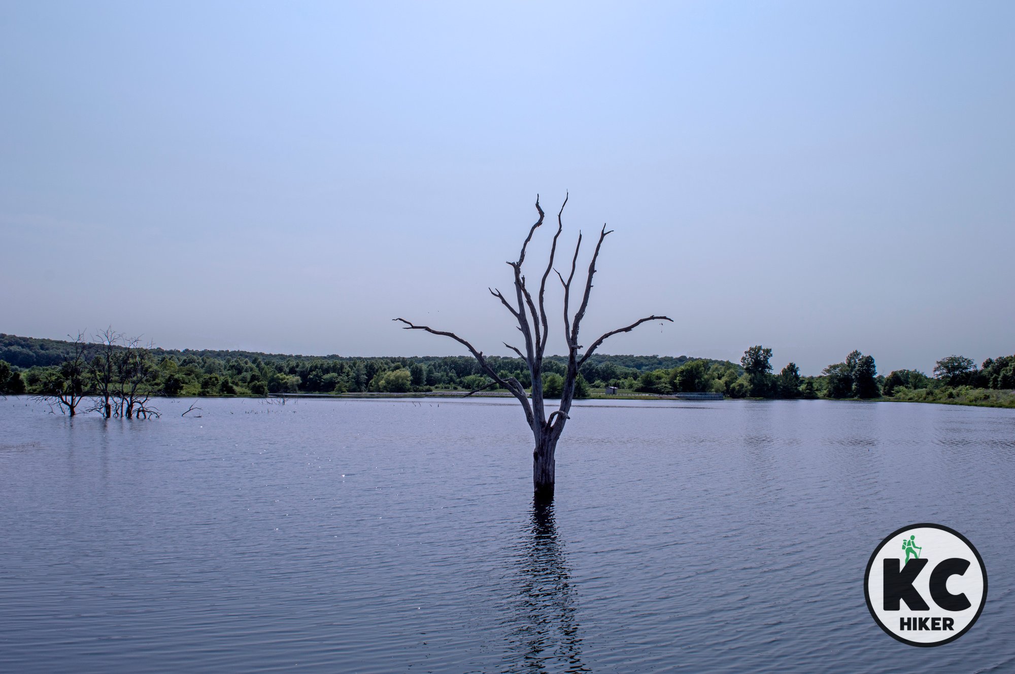
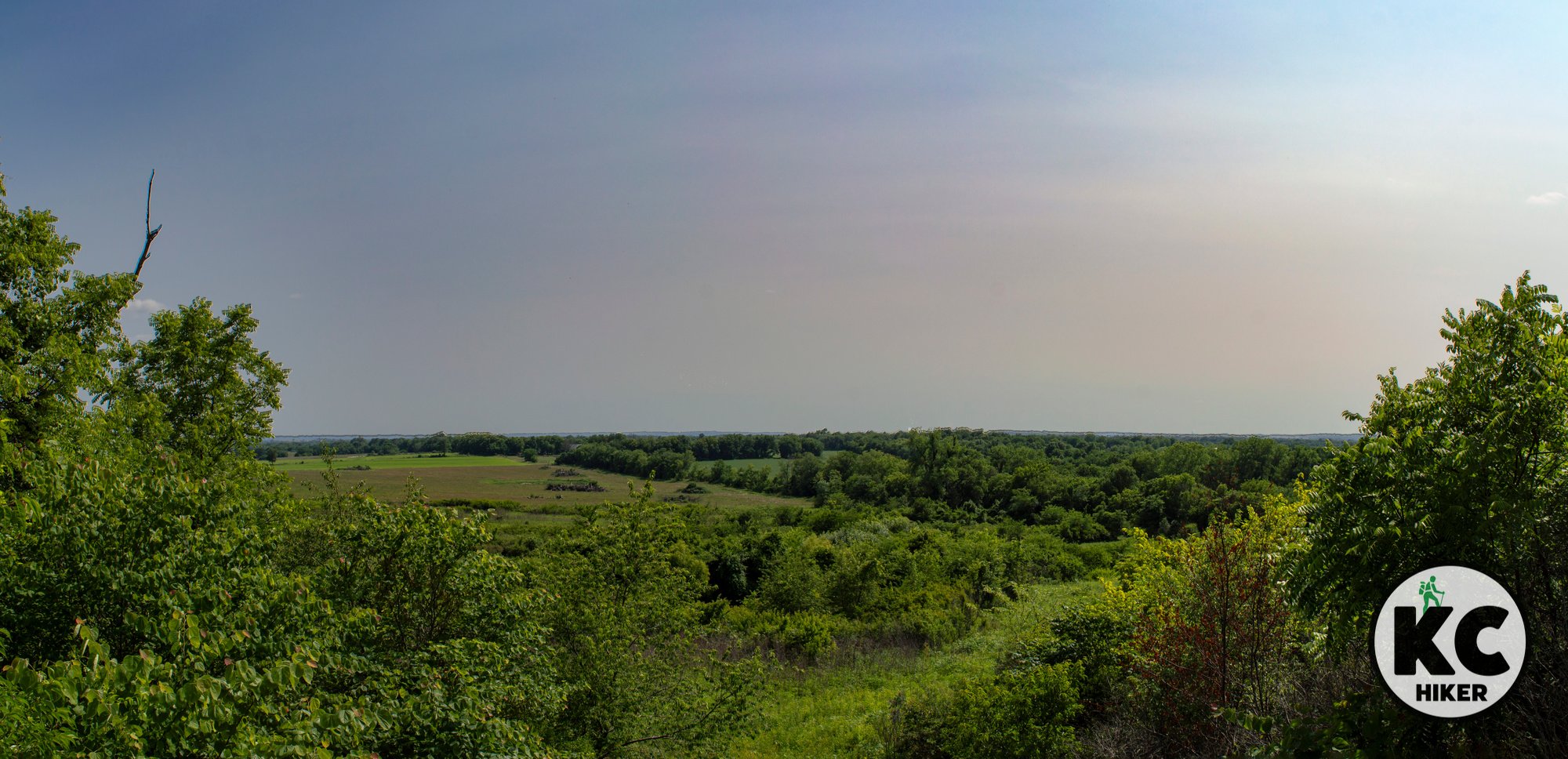
Amarugia Highlands Conservation Area in Cass County features forested hills rising 150 feet above surrounding farmland, once dubbed the “Kingdom of Amarugia,” a semi-mythical hillbilly enclave. Today it offers a 2-mile natural-surface trail through prairie, marsh, and forest, a 45-acre lake, and 1,080 acres open to exploration.

Amarugia Highlands Conservation Area in Cass County, Mo.
Was this area the location of a hillbilly kingdom? We may never know the truth.
Trail Amarugia Highlands Conservation Area
Overview
Highlands in Cass County? This southeastern region of Kansas City is mostly known for gravel roads and fields of corn and soy. However, in this area, forested hills rise about 150 feet above the surrounding plains. In addition to natural beauty, the area has an interesting backstory. What is now the Amarugia Highlands was at one time known as the “Kingdom of Amarugia.” Most of the actual history has been lost to time, but there seems to be a consensus that a group of hillbilly types formed a self-governing kingdom before being absorbed into mainstream society after the U.S. Civil War. There are many legends online if you want to check it out.In terms of hiking, the chief and most accessible trail is actually in the forested plain of the South Grand River. It’s a natural surface, one-mile out-and-back walk through prairie, marshy lowlands and forest. This 1,080-acre refuge is open for exploration, but some bushwhacking will be required if you want to explore the upland area. There is also a 45-acre lake which is available for recreational activities.
Length The most accessible “official” trail is about two miles in length. The 1,080-acre park is open for exploration. Be mindful of seasons because hunting is allowed on this property.
Address and location
This area is remote, with the nearest town being Archie, Mo. See the map below for coordinates.
Conditions There is a mowed, one-mile out-and-back trail that explores lowland prairie and forest.
Kid friendly? For hearty kids only.
How busy? This is a low-traffic trail. Be mindful of hunting seasons since this is a Missouri Conservation Area.
Pets No.
Bikes are not allowed on trails, only conservation area roads.'
Restrooms Primitive toilets are located on the west side of Amarugia Lake.


Dorsett Hill reserve is a colorful remnant of Missouri’s prairie past
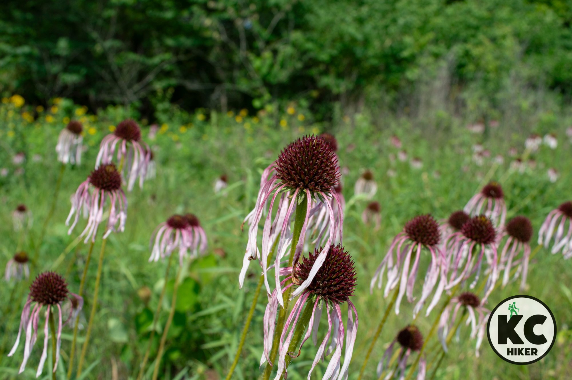
Dorsett Hill Prairie Conservation Area in Cass County is a remote 79-acre mix of forest and tallgrass prairie, including 14 acres of native prairie with diverse wildflowers like coneflower, blazing star, and butterfly milkweed. Hills rise 150 feet, offering unexpected vistas. A short half-mile path leads uphill; deeper prairie exploration requires going off trail.
Dorsett Hill Prairie Conservation Area in Cass County, Mo.
Dorsett Hill Conservation Area preserves native prairie in Cass County, Mo.
Trail Dorsett Hill Prairie Conservation Area
Overview
This wildlife refuge is a remote, rolling, 79-acre tract of forest and prairie in Cass County, Mo. About 14 acres are considered to be native prairie. According to the Missouri Department of Conservation, it’s a remnant of the once vast tall-grass prairie that spread across most of northern and western Missouri. Wildflowers that grow here include pale purple coneflower, blazing star, prairie coreopsis, prairie clovers, lead plant, spiderwort and butterfly milkweed. This rural area is strikingly different from the flatter parts of Cass County, with hills ranging up to 150 above the surrounding areas. You’ll find scenic vistas where you don’t expect to see them.Length There is a mowed out-and-back path about one-half mile in length. However, it only leads uphill through a forest to a prairie plateau. If you want to experience this area’s flora and fauna, you’ll need to go off trail and wander the prairie.
Address and location
This area is remote, with the nearest town being Archie, Mo. See the map below for coordinates.
Conditions There is a short mowed trail. However, maintenance ends far too soon to reach the top of the hill. If you want to see the native prairie and blooms, you’ll need to go off trail and explore.
Kid friendly? For hearty kids only.
How busy? This is a low-traffic trail. Be mindful of hunting seasons since this is a Missouri Conservation Area.
Pets No.
Bikes Good luck!
Restrooms None


Serenity awaits at Belton’s Cleveland Lake
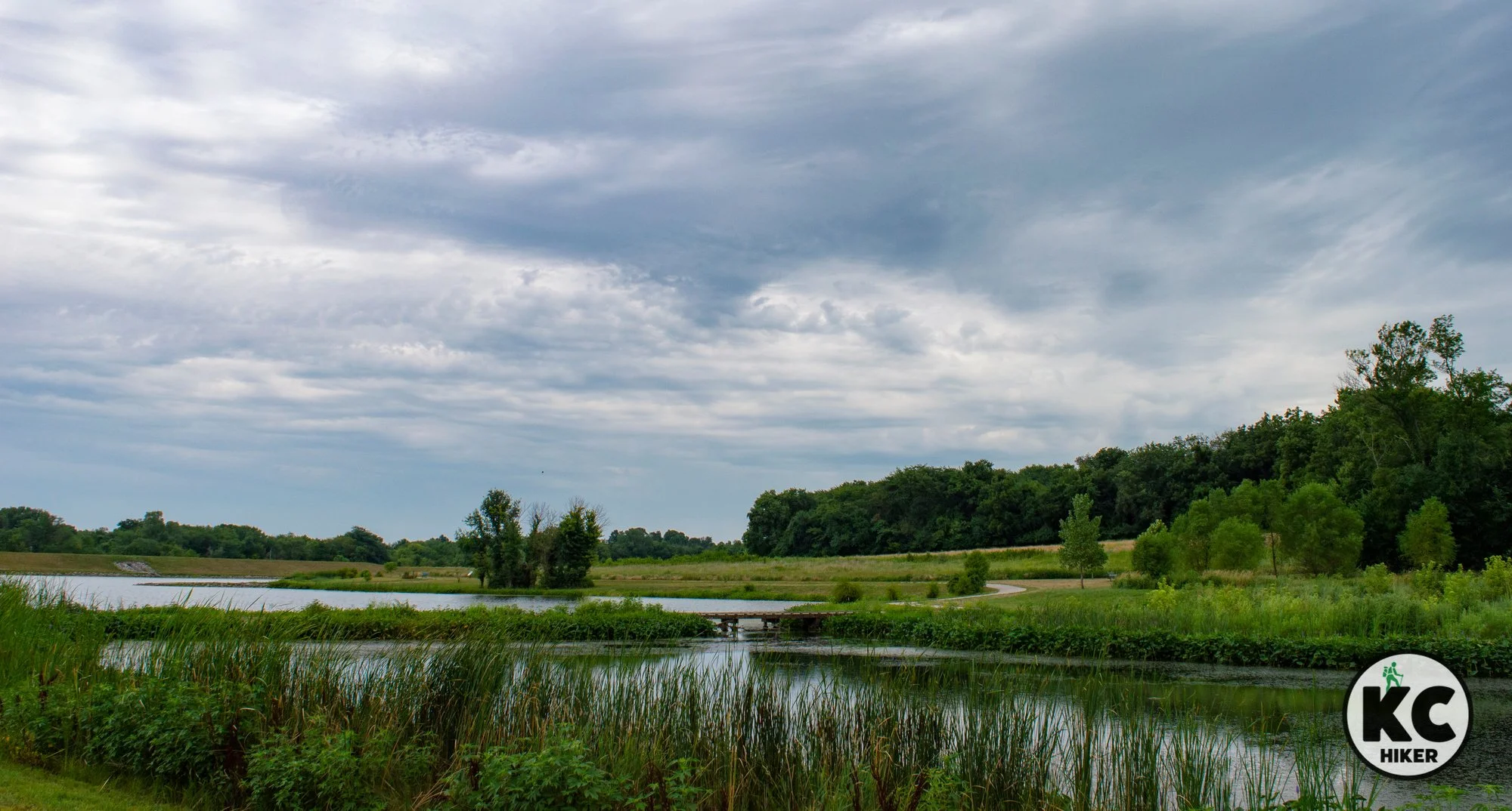
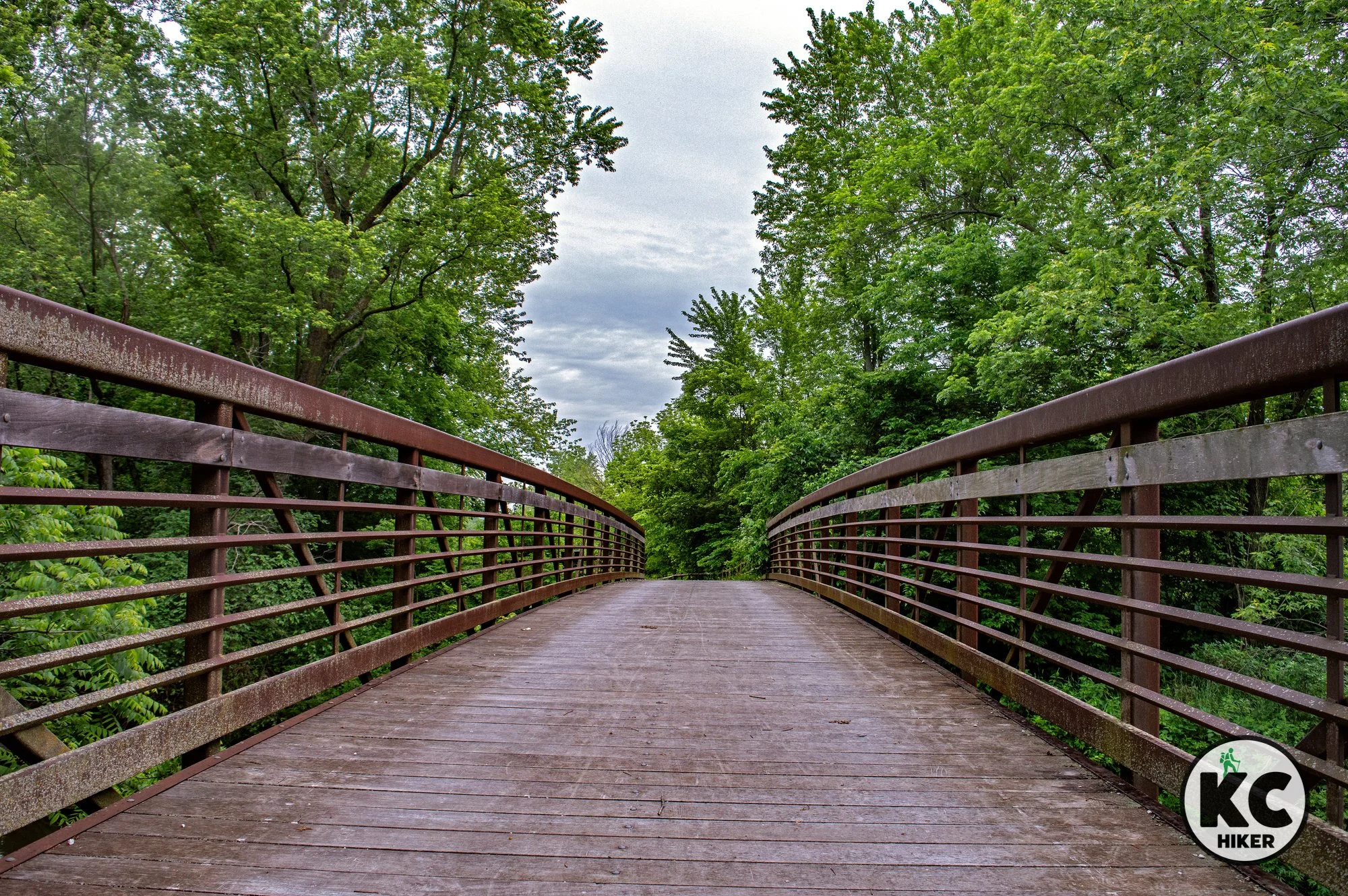
Cleveland Lake Regional Park in Belton, Missouri, offers a 1.2‑mile loop trail around a reservoir plus a spur into surrounding woods. Boardwalks and bridges cross inlets rich with cattails, flowers, and aquatic plants, attracting herons and other waterfowl. Surrounded by prairie, this compact 51‑acre park packs in diverse natural scenery and a disc golf course.

Cleveland Lake Regional Park, Belton, Mo.
Cleveland Lake Regional Park is a quiet respite in Belton, Mo.
Trail Cleveland Lake Regional Park
Overview
Cleveland Lake Regional Park, in Belton, Mo., is home to a 1.2-mile loop around a reservoir. In addition, a trail spur explores the wooded area beyond the lake. The park also includes a disk golf course. The Cleveland Lake trail features boardwalks and bridges spanning small inlets. Aquatic vegetation is abundant, including cattails and flowers. Be on the lookout for heron and other waterfowl. The area surrounding the park fades into a prairie landscape. There’s a dense amount of nature packed into this 51-acre park.Length The loop is 1.2 miles, but an additional 0.5-miles can be added by taking the spur trail.
Address and location
502 S. Cleveland Ave, Belton, Mo., 64012
Conditions This is an easy-to-follow, well-maintained paved path around Cleveland Lake.
Kid friendly? This is an easy walk for kids and parents pushing strollers.
How busy? This is a low-traffic trail.
Pets Yes, on a leash (unless otherwise designated).
Bikes Yes.
Restrooms A portable toilet is available.


Discover Small Town Charm on Pleasant Hill’s MOPAC Trail
Ready for a walk in the countryside that begins in a picturesque small town? The MOPAC Trail starts in historic Downtown Pleasant Hill at a grain elevator. It meanders through woods and prairie, with a few overpasses crossing Wilson Creek and Big Creek. It's 2.3 miles out and back. You can grab coffee and breakfast at Press Monkey Studio. Other offerings include Big Creek Café and Wing Hill Wine Company.

The MOPAC Rock Island Spur begins near Pleasant Hill’s historic depot before heading into the countryside.
This 2-mile gravel path in Pleasant Hill explores the Cass County countryside, connecting City Lake to the KATY Trail.
Trail MOPAC Trail (Rock Island Spur) in Pleasant Hill, Mo.
Overview
The MOPAC Trail is a pleasant walk in the countryside. It begins in historic Downtown Pleasant Hill, which is worthy of a visit in and of itself. The trail head is marked and is near the grain elevator, which towers above the town square. From there it’s a gentle walk through the forest and prairie with occasional overpasses crossing Wilson Creek and Big Creek. The trail ends at the intersection of Smart Road and 167th St.A few notes:
This is not the KATY Trail, which also begins in Downtown Pleasant Hill.
Although this is called the MOPAC Trail, it is also known as the Rock Island Spur. However, it is not the Rock Island Rail Trail in Jackson County (though there are dreams of connecting the two).
There is another MOPAC Trail nearby, but it’s the MOPAC Single Track mountain bike trail at City Lake. Walkers are welcome to use that trail, too. But it’s not the same trail as this one.
Length The trail is a 2.3-mile out-and-back.
Address and location You can begin your journey in Downtown Pleasant Hill or at the northwest end of the trail. Trail heads with parking areas are:
Downtown Pleasant Hill: North Boardman and Center Street Trailhead. Ample street parking is available.
Boardman Road Trail Head: Take Boardman north to this isolated parking area.
Northern Trail Head: Smart Road and 167th St.
Conditions This is a nearly flat, gravel trail with only minor elevation changes. It is also well-marked. Because of its low-lying elevation, this trail can flood and be soggy during rainy periods (that can also mean mosquitos, so wear repellent). The prairie section of the trail has no shade, so avoid blistering hot days.
Kid friendly? This is an easy walk for kids. Rugged strollers will likely get decent traction. Bikes are welcome.
How busy? This is a low-traffic trail.
Pets Yes, on a leash (unless otherwise designated).
Bikes Non-motorized bicycles are permitted.


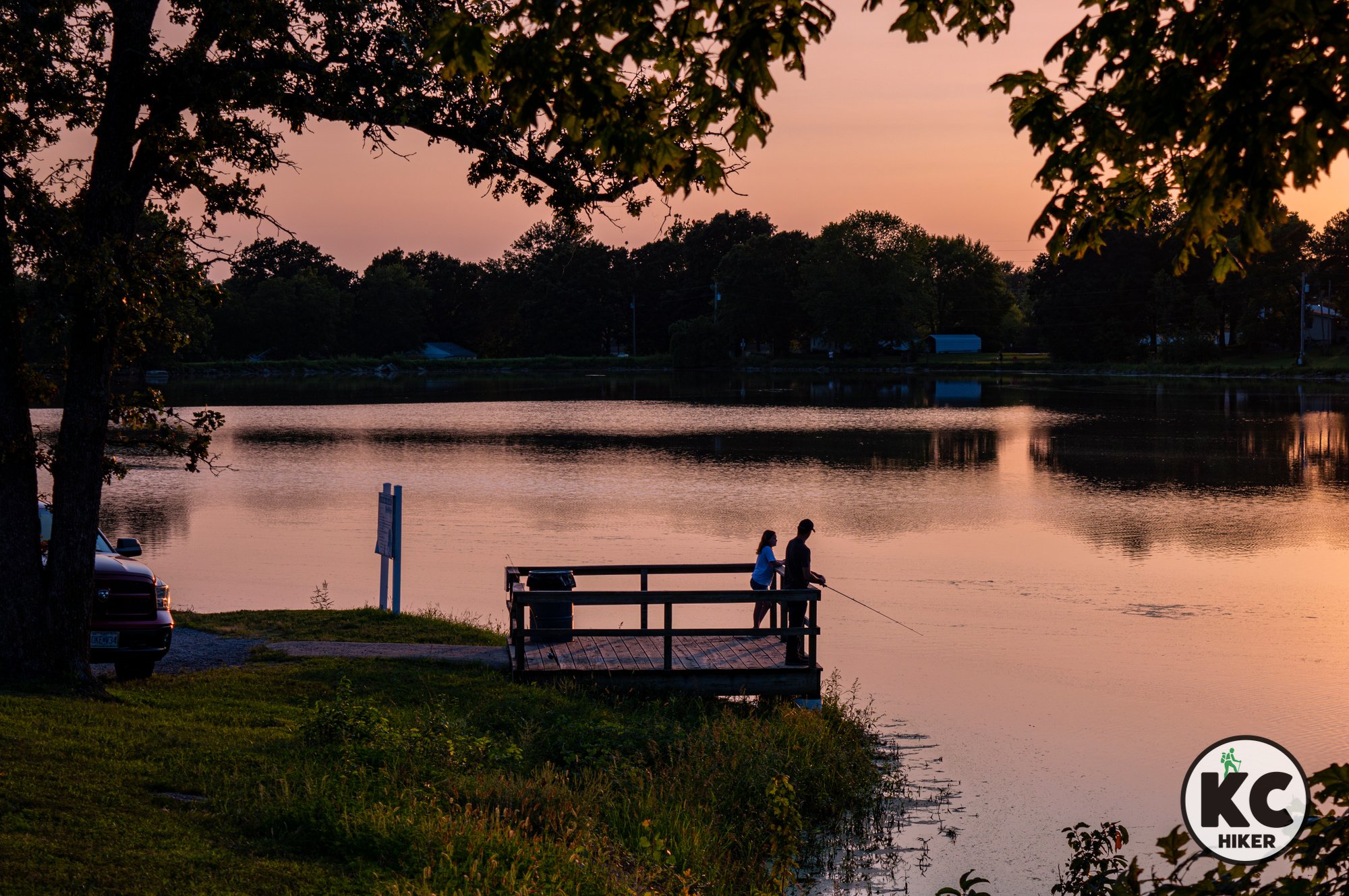
City Lake, Country Silence: Explore the Lakeside MOPAC Trail
The MOPAC Trail at Pleasant Hill City Lake features single-track routes for mountain bikers, walkers, and joggers that weave through forest and hug the quiet rural lakeshore. With minimal elevation change, rockier west-side segments, and two bridges on the north shore, the roughly 3.5-mile loop offers a peaceful nature escape in Cass County.

The MOPAC trail system flanks the east side of Pleasant Hill City Lake in Pleasant Hill, Mo.
Four single-track dirt paths explore the shoreline and forest of this rural park in Pleasant Hill, Mo.
Trail MOPAC Trail at Pleasant Hill City Lake
Overview
City Lake, in Pleasant Hill, Mo., is looped by several single-track mountain bike trails of various levels of difficulty. The trails are also open for walkers and joggers. The trails are usually within eyesight of one another and run parallel throughout their courses. The pathways hug the shore of City Lake and weave in and out of the adjacent forest. Elevation changes are moderate to minimal. Although it’s called City Lake, this lake is in a quiet, rural setting accessed only by gravel roads. Often you’ll be the only person on the trail and hear only the call of birds and the rustling of leaves. The west side of the lake is rockier and more challenging than the east side. Two bridges cross the lake on the north side. This lake a pleasant location for a relaxed walk through nature in Cass County, Mo.Length Looping the entire lake is approximately 3.5 miles. In order to complete the loop, you’ll need to walk 1.2 miles of that total on a gravel road. If you want to minimize time walking on the road, you can skip most of it by walking along the disc golf course at the edge of the lake. This also opens an opportunity to visit the rocky spillway ravine (not advised during tick season) and walk across the dam.
Address and location City Lake, 16104 S Lake Rd, Pleasant Hill, Mo., 64080. The trail head is not immediately apparent when you pull into the park. Drive north on the gravel road through the disc golf area. The trail head is near a picnic shelter (pictured here). You can also access the trail on the west side of the lake, though this entrance is not marked. However, the west side trail head coordinates are listed here.

Conditions These trails are single-track, dirt paths. They’re well marked, but contain the occasional root or obstacle that could trip someone up.
Kid friendly? This narrow trail winds through woods and near the lakeshore. Parents need to be mindful of water safety, poison ivy and insect bites.
How busy? This is a low-to-moderate traffic trail.
Pets Yes, on a leash (unless otherwise designated).
Bikes Non-motorized bicycles are permitted.
Restrooms Portable toilets are available on the east and south sides of the lake.
The trail is managed by the city of Pleasant Hill.


Into the Canopy: Discovering Harrisonville’s Hidden Omega Trail
Harrisonville’s 2-mile Omega Trail is a quiet escape within City Park, looping around two small lakes before diving into shady forest. This wide, well-marked dirt and gravel path has minor elevation changes and is ideal for reflection and nature walks. A separate single-track bike trail is also available.

The Omega Trail, Harrisonville City Park, Harrisonville, Mo.
Explore a quiet woodland in a series of loops in Cass County.
Trail Harrisonville City Park: Omega Trail
Overview
The 2-mile Omega Trail is a pleasant surprise inside Harrisonville’s City Park. The park itself is a popular local destination featuring two medium-sized lakes and plenty of green space. The trail crosses a footbridge separating the lakes and then plunges into a dark and forested canopy. It’s truly a spot for savoring nature and quiet reflection.Length There are a total of 2 miles of trails if you walk all loops.
Address and location City Park, 706 Ash Street, Harrisonville, Mo., 64701
Conditions This is a wide dirt and gravel trail with minor elevation changes. It is clearly marked with few elevation changes. There is also a single-track, natural surface bike trail.
Kid friendly? The surface of this trail is moderately uneven, but it’s still passable for strollers. Traffic is nominal. If near the lake, parents should be award of water hazards.
How busy? This is a low-to-moderate traffic trail.
Pets Yes, on a leash (unless otherwise designated).
Bikes Non-motorized bicycles are permitted.
Restrooms are located on the north side of Lake Luna near the Scout camp.


The nation’s longest rail trail begins in Cass County
Pleasant Hill, Mo., in Cass County hosts the westernmost trailhead of the 287-mile Katy Trail, the nation’s longest rail trail. This 47-mile Rock Island Spur runs through gentle farm country with minimal elevation change on pea gravel surface. The trailhead sits by historic downtown, but the actual path starts 0.4 miles away along MO‑58, with limited services, water, and restrooms.

Katy Trail, Rock Island Spur, beginning in Pleasant Hill, Mo., in Cass County
Hop aboard the Rock Island Spur of the Katy trail in Pleasant Hill, Mo.
Trail Katy Trail, Rock Island Spur
Overview
Pleasant Hill, Mo., in Cass County, is home to the westernmost trail head of the 287-mile long Katy Trail. It’s the longest recreational rail trail in the United States. The Katy begins here and terminates in St. Charles County (near St. Louis). More specifically, this 47-mile section is known as the Rock Island Spur. It ends in Windsor, Mo., but connects with the rest of the trail there. The viewing experience on this section is mostly pastoral farm country, with minimal elevation changes.Extras The trail head is adjacent to Pleasant Hill’s historic downtown district, which is worth visiting in and of itself.
Length The complete trail is 287 miles long.
Address and location The trailhead and parking is at the Cass County Fairgrounds, MO-58, Pleasant Hill, Mo., 64080. If you require street coordinates, the parking lot is at the intersection of 58 Highway and Walnut Street in Pleasant Hill. Although this address is the official trailhead and the only area parking for the trail, it is not the actual start of the path itself. To get there, you’ll need to follow the signs and then walk or bike about 0.4 miles down Highway 58 to enter the trail. Most of the route has no sidewalk. Keep this in mind if you are bringing children. If there are two drivers, one could drop others off at the beginning of the route and return to park the vehicle. The entire experience is clearly marked, but could be frustrating if it’s unexpected.
An alternative is to park at the Purvis Road trailhead, which is three miles southeast of the main trailhead. Location: 19917 S. Purvis Rd, Pleasant Hill, Mo. 64080.
Conditions The Katy Trail is an amazing gift to the people of Missouri. It’s surface is pea gravel and it’s well marked. There are very few elevation changes on the Rock Island Spur of the trail. Note that the trail quickly becomes a remote location without access to water or restrooms, so plan accordingly.
Kid friendly? Once you get past the trail head (read above), this is a quiet, wide open walk that is well suited to children, strollers and kids’ bikes.
How busy? Although it’s possible for the Katy Trail to be busy at its more popular destinations, it’s unusual in Cass County.
Pets Yes, on a leash (unless otherwise designated).
Bikes Non-motorized bicycles are permitted.
Restrooms are available sporadically along the trail. According to Missouri State Parks: “Water and restrooms are not available at every trailhead. From November through March, water is turned off and restrooms are closed.”


